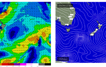
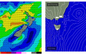
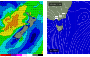
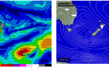
The trough-block pattern set-up nicely over the weekend and we’re looking at a sustained run of swell from the Eastern quadrant. A long, angled trough with embedded low pressure centres on the Eastern flank is concentrating broad E-E/NE infeed fetches in the Eastern swell window.
Primary tabs
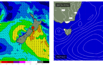
Initially the low enhances a broad E-E/NE wind infeed over the weekend, contracting NE into a low pressure centre near the North Island early next week. This fetch is well aimed for Eastern Tasmania and will see a few days of solid E/NE swell from Mon-Thurs.
A dynamic trough blocking pattern is then expected to unfold in the medium term. Details below.
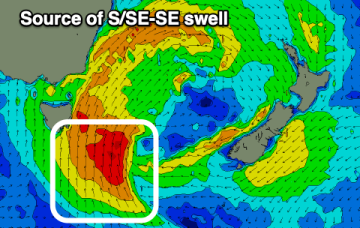
We've got a lot to deal with this period with plenty of energy out of the south-east followed by east next week.
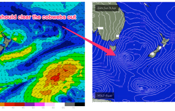
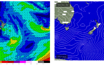
No great change to the very dynamic Easter weekend f/cast. A mid-latitude low slips East of Tasmania overnight and deepens rapidly as it merges with an incoming frontal system. The front brings a strong W tending SW’ly flow through Sat which will herald the start of a major S swell episode.
Easter Sunday should see a steady upwards trend in S swell, as a strong S swell cycle gathers steam, enough to blow out the cobwebs from our quiet start to Autumn.
S swell then eases Good Friday and gets replaced by building NE windswell as the high develops a fetch of N/NE winds off the NSW Coast.
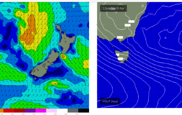
No great change to the weekend f/cast with a low east of the state moving away and a last cold front sweeping up past the state.
In the short run and the outlook is dynamic. The low sitting off the East coats maintains an E/NE-E infeed so E swell will hold in the 3ft range.
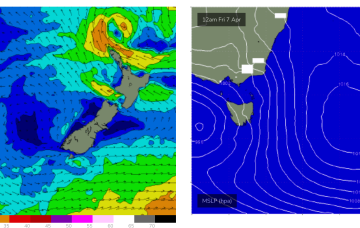
Weak, mobile high pressure in the Tasman gets reinforced by another rapidly weakening low well to the south of Tasmania tomorrow. A small trough of low pressure off the Gippsland coast moves south and aims a fetch of E’ly winds directly at East Coast Tasmania.

