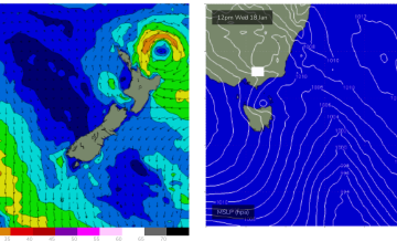
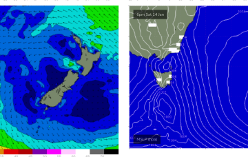
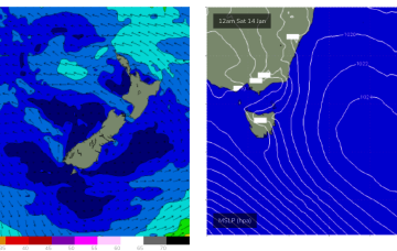
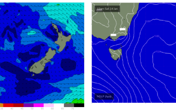
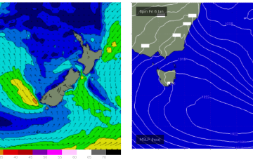
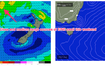
We’re in a bit of Groundhog Day pattern with another moderate high (1027hPa) moving into the Tasman, directing onshore winds across the Eastern Tasmania. These winds are tending NE before a stiff S’ly change Wed as a trough pushes through, tied to a front and low in the lower Tasman.
Primary tabs
No great change to the weekend f/cast. We’ve got a weak, blocking pattern with high pressure (1025 hPa) right smack bang in the middle of the Tasman directing an onshore flow along the Eastern Seaboard, becoming fresh NE off the South Coast and into Bass Strait over the weekend.
An insipid Summer blocking pattern is now setting up as a weak high (1019 hPa) moves East of Tasmania and becomes semi-stationary in the Central/Lower Tasman. That will see a short/medium term pattern of onshore winds and small summer surf becoming established before a chunky NE windswell this weekend as high pressure moves out into the Tasman.
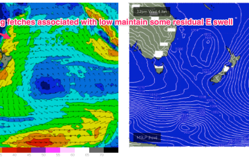
High pressure is expected to drift south of Tasmania this week, with a typical Summe wind pattern becoming established. Remnants of low pressure near New Zealand are offering up minor fetches out of Cook Strait (currently) and near the South Island which will supply a few small pulses of swell this week. NE fetches develop later in the week as high pressure moves out into the Tasman.
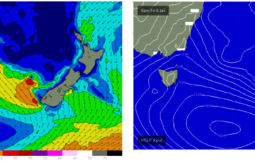
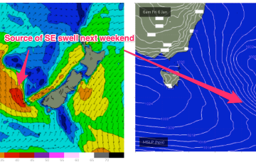
Into the new week and a fetch near the South Island over the weekend now looks weaker and more constrained than modelled on Wed but should still be capable of generating 2-3ft of surf for Mon, easing during the day. Winds look good with light NW breezes as a weak, troughy pattern hovers off the South Coast.
After a very slow moving synoptic pattern in the Xmas-New Years week we are finally seeing some movement as the tropical low which hived off the monsoon trough now journeys into the Southern Tasman, leading to building E/NE swells across NE Tas, where it will merge with a surface trough currently working it’s way north along the NSW Coast.
Current ASCAT (satellite windspeed) passes show a board fetch of strong E’ly winds now tracking SSW-SW back into the Tasman from a position half-way between New Caledonia and the North Island, generating solid ENE’ly swells which will radiate from the sub-tropics down to Eastern Tasmania this week.
With high pressure in the Tasman we’ve got a mix of more local NE windswell and general E/NE swell from the winds in the Tasman over the New Years weekend.
The building blocks for a classic Summer monsoonal pattern are now firmly in place and almost the entire Eastern Seaboard from the Tropic of Capricorn to Tasmania is going receive swell as a result of it.
The high pressure belt holds good support for this low pressure area with reinforcing cells stacking onto a slow moving system located at South Island latitudes. Eventually this large low pressure system drags a board fetch south enough to send useful E/NE swell to NE Tas.

