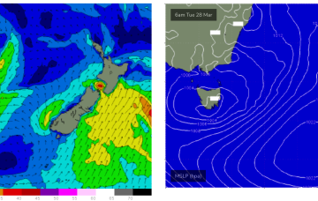
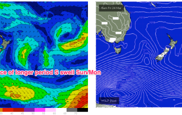
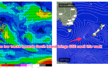
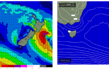
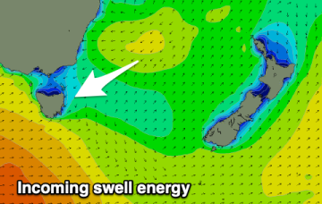
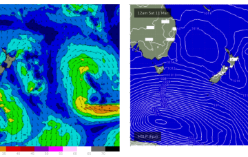
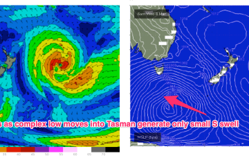
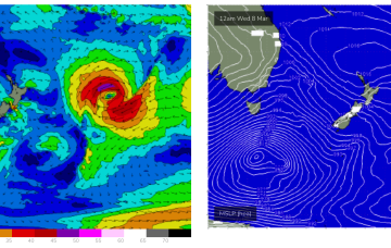
No great change to the weekend f/cast. A small trough of low pressure off the Gippsland coast brings S’ly winds Sat with small amounts of S swell wrap as a large frontal progression traverses waters below the state.
Primary tabs
In the south a small trough of low pressure off the Gippsland coast is aiding a N-NE flow through temperate NSW with a S’ly change on the radar for tomorrow. The remnants of a low near the South Island are now dissipating after a final flare up yesterday.
A trough in advance of a strong high pressure cell and deeper Southern parent low is bringing a fresh S’ly flow to Eastern Tas today, with conditions rapidly shifting gears tomorrow as the large high drifts East of the state.
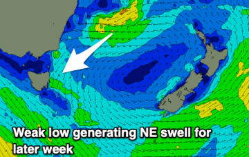
A high quickly slips E of Tas later Mon with NE winds developing and a potential NE windswell through Tues and Wed as winds feed into an inland trough.
A fun swell is on the way with it performing well across southern NSW.
Small but surfable swells for the week, mostly into Thursday.
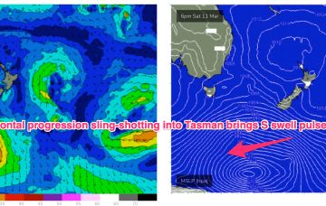
A deeper fetch slingshotting NE from the Southern Ocean brings a much stronger S swell pulse Mon.
The high moves rapidly NE into the Tasman next week and that puts us back into NE windswell territory as winds increase off the South Coast and down to Bass Strait.
Unfortunately this strong cold outbreak now looks to stall just too far West (behind the swell shadow of Tasmania) to really deliver any strong S swell to the East Coast, before weakening as it moves into the Tasman Sea swell window proper. We will see small S swell pulses.
Through Sun we’ll see increasing NE-N winds, along with a vey well aimed fetch of NE winds off the Gippsland to Bass Strait stretch whipping up NE windswell.

