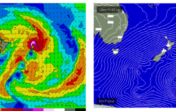
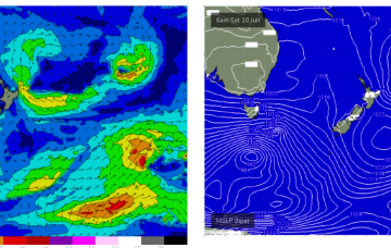
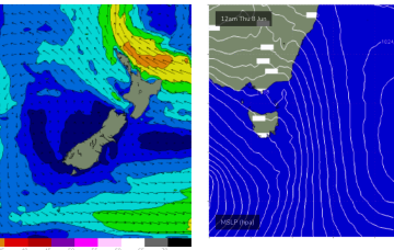
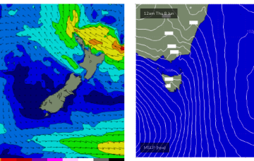
A fetch of a different magnitude working on an already active sea state Fri should see a much more substantial series of S swell pulses beginning later Fri.
Primary tabs
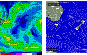
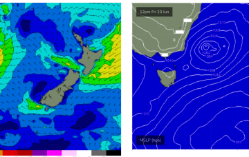
High pressure over the continent and off the QLD Coast is still supplying ridging which is now being strengthened by the next series of troughs and fronts. Off Tasmania a small low pressure cell is slowly moving away with easing onshore winds and a chunky NE swell still building.
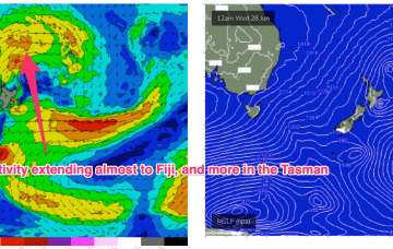
Into next week and it looks like a much more active period ahead now, with strong frontal intrusion into the Tasman Sea and plenty of directional S swell ahead.
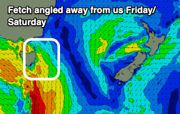
The end of the week now looks good for a chunky NE windswell as twin high pressures develop a fetch of NE winds off the South Coast which intensify in response to approaching frontal systems. There’ll also be some E-E/NE swell from a fetch near the North Island.
Looks like the strength of the N-NW flow across Bass Strait will generate some small N-NE windswell wrap for Sat.
Approaching mid-latitude lows are too far north and too zonal (W-E) to offer any swell sources for NETas, so surf is expected to stay tiny/flat through the end of this week.
Bring back La Niña. We're in a flat patch of surf with no real break in sight.
Not much chance for the weekend f/cast with a high to the north of the state and a low passing to the south driving a fresh W/NW to NW flow across the Island. No major swells are expected with the low being too zonal (W-E) to send much S swell wrap into the NE of the state.
The evolution of the current pattern has sped up compared to Monday’s notes with high pressure drifting towards the South Island and weakening and a low centred around the North Island moving NE. An approaching decaying front and inland trough will bring a strengthening N’ly flow tomorrow and peak in NE windswell with the end of the week seeing smaller, offshore conditions.
Models show a strong rebuild in wind-speeds through the fetch on Thurs with surf expected to peak in the 4-6ft range

