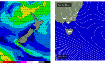
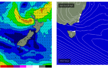
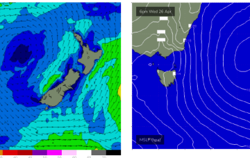
Sunday looks more dynamic as a low forms to the NE of the state and a S’ly fetch extending to the south of the Island generate new S swell.
Primary tabs
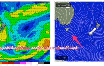
A much stronger cold outbreak looks poised to spawn a major Tasman Low Sun/Mon with the seasons first serious S-SE swell expected.
We should see some small S swell later in the week as a minor front/low pushes into the Tasman before a more substantial S swell event develops late in the weekend/early next week on the back of a cold outbreak and potential deep low in the Tasman.
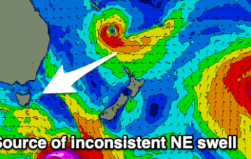
The weekend will become small and slow, with some new, inconsistent NE swell due next week.
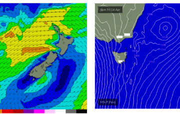
A broad trough of low pressure is expected to bud a surface low near New Caledonia over the short term, generating more quality E-E/NE swell as the low drifts through the South Pacific slot and into the Tasman.
The major swell generator will a broad fetch of SE-E/SE winds in the Coral Sea/Northern Tasman which will be enhanced later in the week as a broad tropical low tracks southwards from New Caledonia and into the wide open Eastern swell window, bringing quality E/NE swell to NE Tas later in the weekend and early next week.
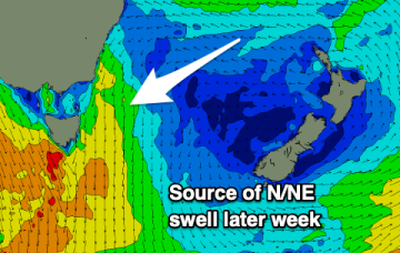
Small, inconsistent leftovers for the weekend with a N/NE windswell later week.
We still have the trough block pattern in place with the South Pacific low centre contracting away to the NE while a secondary low centre retrogrades back into he Tasman Sea. An anchoring high, is being shunted away with a trough and front expected tomorrow before a new dominant high moves in from the Bight.
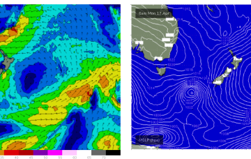
The trough-block pattern set-up nicely over the weekend and we’re looking at a sustained run of swell from the Eastern quadrant. A long, angled trough with embedded low pressure centres on the Eastern flank is concentrating broad E-E/NE infeed fetches in the Eastern swell window.
Initially the low enhances a broad E-E/NE wind infeed over the weekend, contracting NE into a low pressure centre near the North Island early next week. This fetch is well aimed for Eastern Tasmania and will see a few days of solid E/NE swell from Mon-Thurs.

