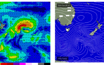
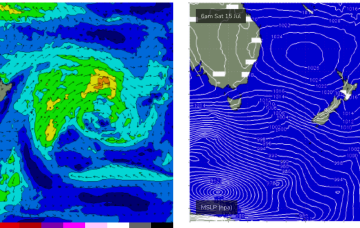
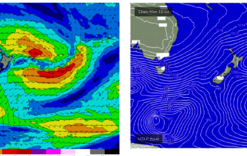
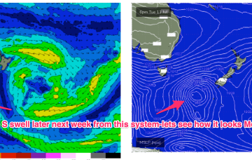
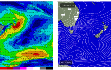
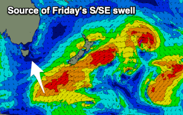
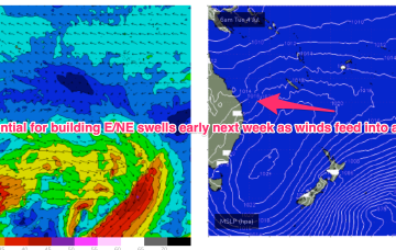
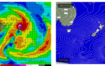
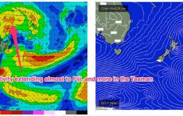
We’ll see quite a few wind change this week as a result and an upgrade in S-S/SE swell energy as the trough and front develop a handy fetch in the Tasman
Primary tabs
More NE windswell is on the menu likely Thurs as a front approaches and N’ly winds freshen off Southern NSW.
Cold fronts are passing across the Island and the high pressure will now exert a blocking effect, steering fronts well away from the swell window or ensuring a zonal (W-E) flow through the end of the week and into the weekend.
Another week begins with a classic winter El Niño pattern. High pressure over the continent with a W’ly flow being enhanced by a series of mobile fronts and parent lows, with tiny amounts of S swell wrap. Nothing of any size its expected due to the zonal and mobile nature of the fetches so you’ll need to find a swell magnet to find anything rideable.
We’re still expecting gale force NW winds to develop Sat, with a chance for N’ly windswell wrap into the NE of the Island.
Sunday sees a strong front push through into the Tasman and a fetch of strong winds below the state should generate a fresh round of S swell to 2-3ft at S exposed breaks under strong W-W/SW winds.
Inconsistent but fun pulses of S/SE swell with favourable winds.
Monster high pressure approaching WA longitudes, high pressure over the NE of he country and Coral Sea and a series of cold fronts penetrating well into sub-tropical latitudes. A massive NW cloud band is drawing moisture in from the Indian Ocean and Arafura Sea via inland troughs. The cold fronts are our primary swell source through this week and into the weekend.
A fetch of a different magnitude working on an already active sea state Fri should see a much more substantial series of S swell pulses beginning later Fri.
High pressure over the continent and off the QLD Coast is still supplying ridging which is now being strengthened by the next series of troughs and fronts. Off Tasmania a small low pressure cell is slowly moving away with easing onshore winds and a chunky NE swell still building.


