/reports/forecaster-notes/eastern-tasmania/2014/10/24/fun-tomorrow-morning-good-monday-winds-swing
Craig
Friday, 24 October 2014
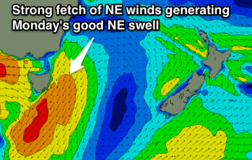
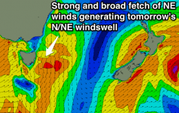
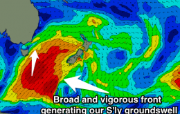
Easing NE swell with offshores tomorrow, larger NE swell Monday with winds swinging offshore.
/reports/forecaster-notes/eastern-tasmania/2014/10/22/tricky-period-best-saturday-morning
Craig
Wednesday, 22 October 2014
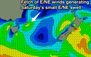
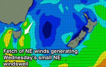
Fading NE windswell tomorrow with a nre junky S/SE windswell. Swell swinging E'ly Friday with onshores, new E/NE swell Saturday with morning offshores.
/reports/forecaster-notes/eastern-tasmania/2014/10/20/building-swell-and-onshores-thursdayfriday
Craig
Monday, 20 October 2014
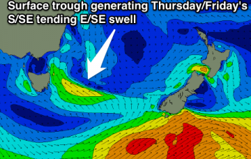
Developing N/NE windswell Wednesday, fading Thursday with a building S/SE tending E/SE swell. Best Saturday.
/reports/forecaster-notes/eastern-tasmania/2014/10/17/small-windows-clean-small-waves
Craig
Friday, 17 October 2014
Small pulses of S'ly and then NE swell with windows of cleaner conditions to try and work around.
/reports/forecaster-notes/eastern-tasmania/2014/10/15/good-thursday-fading-mix-swells-friday
Craig
Wednesday, 15 October 2014
Clean easing E/SE swell with a smaller NE swell in the mix tomorrow, fading Friday.
/reports/forecaster-notes/eastern-tasmania/2014/10/13/best-wednesday-and-thursday-mornings-ese-swell
Craig
Monday, 13 October 2014
Weak easing S/SE tending SE swell tomorrow, small E/SE swell building Wednesday, easing Thursday.
/reports/forecaster-notes/eastern-tasmania/2014/10/10/small-ne-swell-monday-afternoontuesday-morning
Craig
Friday, 10 October 2014
Flat all weekend with a small NE swell for Monday afternoon and Tuesday morning.
/reports/forecaster-notes/eastern-tasmania/2014/10/08/flat-until-some-better-ne-swell-fills-next-week
Craig
Wednesday, 8 October 2014
Effectively flat until some better NE swell develops for early next week.
/reports/forecaster-notes/eastern-tasmania/2014/10/06/tuesday-morning-only-chance-wave
Craig
Monday, 6 October 2014
Fading NE windswell tomorrow, flat from then into the weekend.
/reports/forecaster-notes/eastern-tasmania/2014/10/03/great-saturday-small-peaky-ne-windswell-tuesday
Craig
Friday, 3 October 2014
Easing but strong S'ly groundswell with offshores Saturday. Clean easing NE windswell Tuesday.

