The pattern as we described it on Wed remains fundamentally the same, but the position of the moving parts has shifted so there’s some significant changes to the weekend f/cast.
Primary tabs
Weak fronts are below the country and an inland low is tracking across from WA, tied to the continuing pattern of interior troughiness which is associated with a developing La Nina pattern. This pattern, which has been with us for most of the last few weeks, is expected to see continuing small, flukey swells into the medium term.
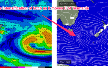
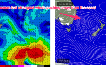
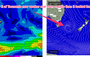
A deep mid-latitude low with high pressure support in the Bight and multiple cold fronts has now moved E of Tasmania with W to SW gales pushing out of Bass Strait and a deeper SSW fetch pushing up from the Southern Ocean into the Tasman Sea. It’s a wintry looking system and it has a nice sting in the tail as a small troughy intensification slingshots up into the Tasman Sea through tomorrow, giving another longer period pulse S swell to add onto the main body of the swell.
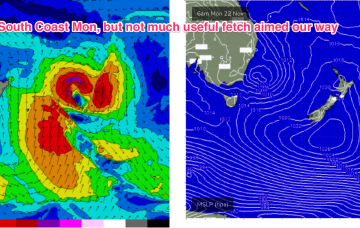
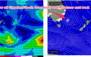
Sunday gets a little upgrade, in energy at least. A coast hugging fetch of gales whips past the NSW South Coast overnight Sat, into the early hours of Sun, before the low moves away rapidly during the day.
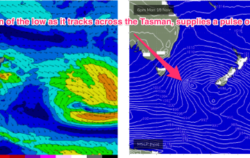
The troughy pattern will see multiple wind changes through to the end of the week with some flukey swells on offer before the inland low enters the Tasman this weekend and supplies a slightly larger S swell.
Pressure gradients are weak across our main swell windows and through the region as an interior trough drifts NE and a weak, troughy area extends out into the Tasman sea, without creating much of a squeeze on a weak high pressure centre over New Zealand.
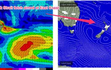
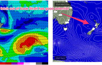
The fetch out of Cook Strait, extending up past Taranaki Peninsula and into the Tasman sea looked good on ASCAT (satellite windspeed) passes through Wed/Thurs, with areas of storm force winds embedded in a long fetch of severe gales to low end gales. With the buoys and observations already confirming the swell it’s only local winds we’ll be concerned with this weekend.
Current ASCAT (satellite wind speed) passes show areas of the fetch already at storm force strength as it develops in the areas mentioned above, leading to high confidence in the upcoming f/cast.
A low pressure system developing north of New Zealand’s North Island drifts south to be over the North Island Wed, and while that blocks most of the fetch from generating swell for the East Coast, it does shoot out a fetch through Cook Strait Wed/Thurs which looks like a tidy source of ESE swell for the region Fri/Sat.
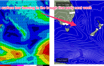
No change to the headline feature this weekend: another robust low forming in a trough line East of Tasmania. It does seem to be running early, with gales to storm force winds now expected out of Bass Strait through the early afternoon and winds now tending SW through the evening in Southern NSW.


