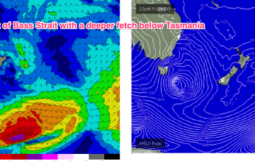
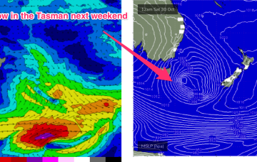
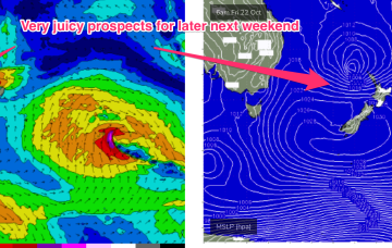
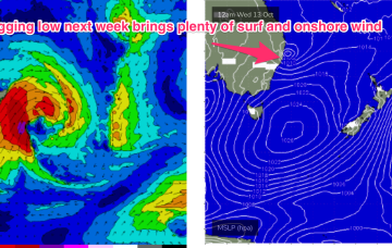
For now though, the interplay between the approaching low system and high in the Northern Tasman is setting up a N’ly flow which will take us through the to end of the working week.
Primary tabs
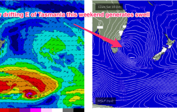
The current synoptic pattern is a low pressure system E of Tasmania directing a fetch of SSW to S strong winds to low end gales adjacent to the NSW South Coast. This low then eases as it moves out into the Tasman sea later today.
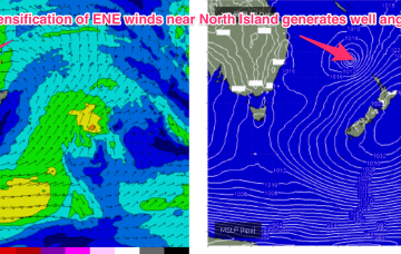
The current Tasman low has drifted out and become absorbed into a long, NE/SW angled trough in the South Pacific, which is currently organising and energising a broad but thin fetch of E’ly gales from the South Pacific down into the Tasman Sea adjacent to the North Island.
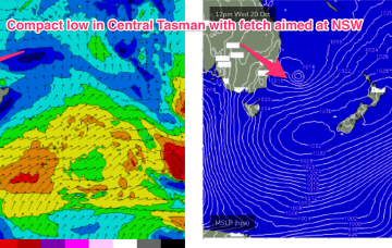
The interplay between the two systems is producing a fetch of E/SE winds through the Central Tasman, in effect a sub-tropical looking tradewind style fetch we might see in Summer.
From there we see a large, southwards located high and multiple troughs located in the Tasman sea and inland become the dominant synoptic features for the week. This is going to set-up some tricky, short-lived fetches as well as another week of multiple wind changes.
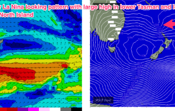
Very dynamic, unstable week ahead that has a very La Nina looking signature to it. Primarily the strong, southwards located high and a very troughy pattern in the Tasman sea, that has good swell potential for the region.
Next week looks even more La Nina influenced than this week, as a strong high moving at an unseasonably southwards latitude moves into the lower Tasman and directs a strong onshore flow.
The second half of the week looks a little more interesting. An approaching mid-latitude low in the Bight tightens the the pressure gradient along the western flank of the high in the Tasman, with an increase in N to NE winds off NSW coast.
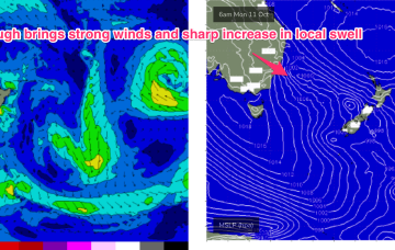
Highly dynamic week next week kicks off Mon with a NE/SW angled trough expected to form offshore from the top of the Hunter coast, or lower Mid North Coast.
We’re now well into the very mobile Spring pattern identified in Mon’s notes. Weak high pressure is currently over NSW and in the process of migrating into the Tasman sea and a series of fronts tied to a complex area of low pressure SE and SW of Tasmania are lined up to sweep across the SE of the continent and into the Tasman sea.

