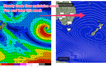
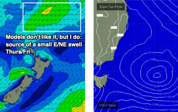
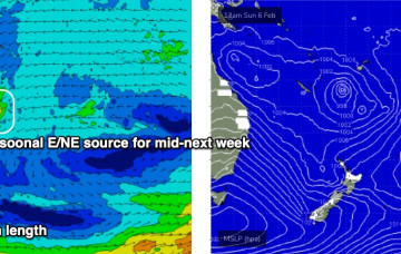
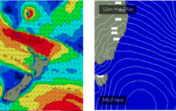
The latter part of the week will see a NE flow develop, with periods of light NW breezes inshore. Trade flows across the South Coral and Northern Tasman Sea won’t be particularly strong this week but the broad scale coverage of winds will be enough to see a modest building trend into Thurs and Fri.
Primary tabs
The southerly change pushing up Southern NSW this afternoon doesn’t have a lot of strength nor longevity in its fetch, but we do have some swell potential for the weekend.
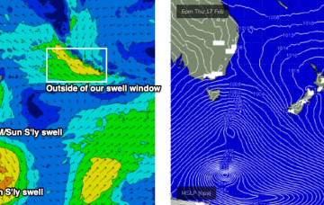
The swell window’s a little quiet at the moment, so we’re not expecting much surf for the rest of the week.
We’re looking at a steep easing trend and a week of small surf as high pressure moves a little more northwards than it has so far this La Niña Summer. Under the influence of the high pressure belt it’ll be a week of N to NE’ly winds and a small blend of E’ly swell trains.
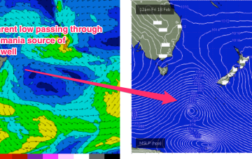
Models now show the remnants of the cyclone undergoing extra-tropical transition as it slides towards New Zealand with areas of severe SE gales developing on the south-western quadrant.
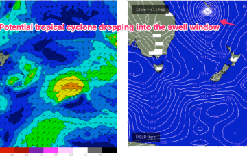
Another strong ridge is expected to establish Fri with (another!) tropical low drifting south from the South Pacific later this week and over the weekend down the Tasman Sea pipe.
The weekend’s impressive anchored ridge encompassing the Tasman and Coral Seas is now abating in strength, however we’ve still got plenty of waves on the way.
A monster high moving through the Bight is strengthening with the pressure gradient tightened along the entire ridge line by a low pressure trough with embedded low systems in it. The trough extends from the South Island New Zealand up to the monsoon trough across CapeYork Peninsula and into the Gulf of Carpenteria.
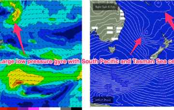
As mentioned on Monday, we've got an unusual synoptic pattern setting up in the Tasman Sea.
We've got an unusual blocking pattern setting up for the weekend. Plenty of waves on the way too.

