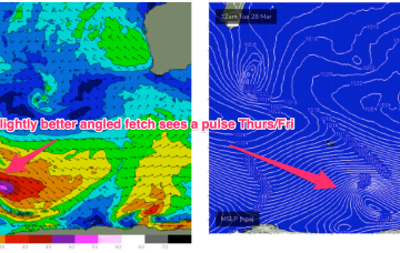
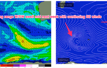
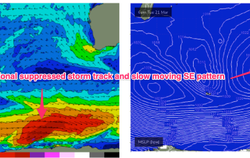
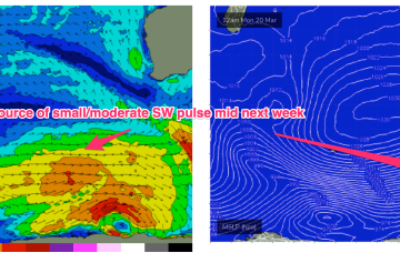
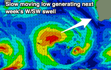
Into next week and the slow moving pattern remains entrenched through most of next week with a “stuck” high pressure to the SW of WA maintaining an ESE-SE flow- depending on the positioning of an inland trough.
Primary tabs
No great change to the slow moving pattern which is seeing a blocking high (1034 HPa) well to the SW of the state maintain a ridge of high-pressure across the SW with an inland trough enhancing ESE-SE winds through the morning. This stuck pattern looks to remain in place right through the end of this week and over the weekend, and even into early next week.
This “stuck” synoptic pattern will favour semi-protected waves in the SW under a regime of small SW pulses this week, generated by a zonal suppressed storm track, augmented by some smaller, long range WSW swell generated in the far western Indian Ocean.
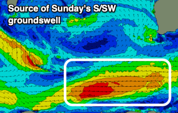
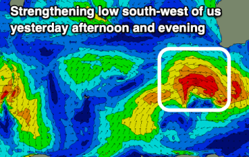
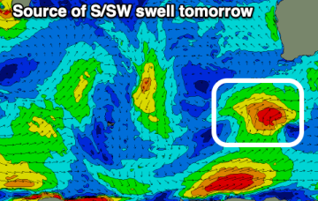
Strong SSW-SW swell from a front which tracked past Heard Island generating a wind swathe of seas in excess of 20ft as it passed under the state today will build in mid morning in the SW, a bit later in Perth/Mandurah.
The surf will fade with dicey winds to end off the week. A good new swell with offshore winds is due to build through the weekend.
We've got plenty of fun surf days ahead with a sizey swell tomorrow along with favourable winds.
We've got a good swell inbound along with an improvement in the local winds.
The coming days of surf don't look great, but we should see some decent swell with workable winds into next week.
Clean, windy conditions tomorrow with a small swell, then very slow ahead of surf next week but with dicey winds.
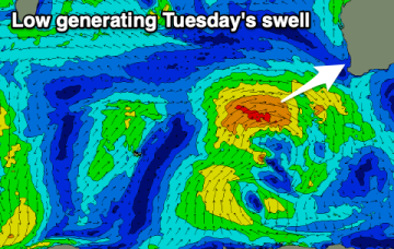
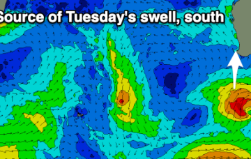
New swell due early next week will have a lot of south in it.

