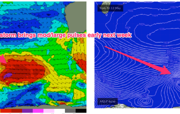
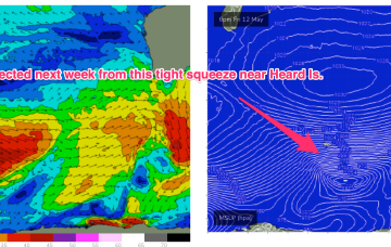
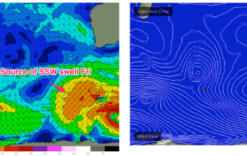
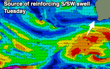
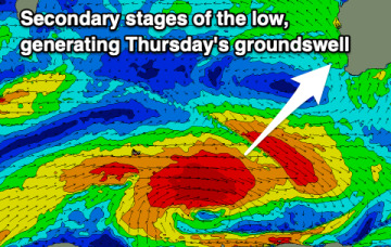
As mentioned Mon a strong, zonal storm tracking past Heard Island Fri develops a wide swathe of seas to 20-30ft as it tracks between 80-110E.
Primary tabs
Next week looks like some better windows with plenty of surf expected as a high riding system tracks NE of Heard Island Sat/Sun generating a wide swathe of seas in excess of 20ft, reaching seas in excess of 30ft as it passes under WA.
Todays late pulse should finally fill in and supply a few 4ft sets tomorrow between the Capes with tiny 1-2ft surf in Mandurah, 1ft in Perth. Winds remain predominantly E’ly with high pressure ridging in under the state and an inland trough.
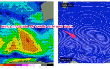
Next week, and an active W’ly storm track between 50-55S based around Heard Island sends some moderate SW energy towards WA, before a major front slams the state mid week.
We’ll see a mostly offshore flow develop this week as a large high drifts below the state and sets up a ridge, with an inland trough staying semi-stationary for most of the week. The storm track is below seasonal strength with the long wave trough not ideally positioned for large swells.
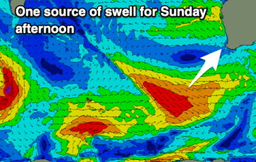
The surf will ease into tomorrow with offshore winds through the morning, dicey Sunday as the swell kicks into the afternoon. Better surf and fun swells are due early-mid next week.
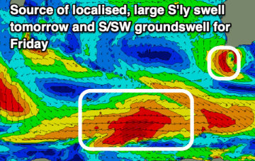
We've got good surf due to develop from later tomorrow but more so Friday with plenty of swell and options aplenty.
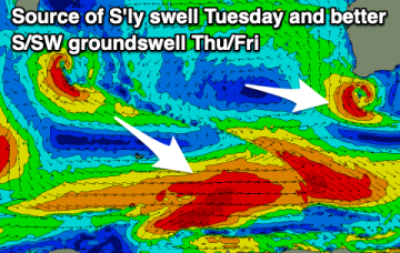
A stalling mid-latitude low will create poor conditions and add a large S'ly swell into mix tomorrow, improving later in the week with a good new S/SW groundswell.
We've got a good new swell and great winds due tomorrow with deteriorating conditions due through Sunday, poor through the early to middle of next week.
The surf will become smaller into the end of the week as winds become also less reliable. Early next week isn't great, better next Thursday/Friday.

