The coming period is promising with great waves on the weekend followed by a good southerly swell mid-next week.
Primary tabs
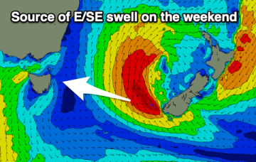
Building levels of northerly windswell will be followed by an east-southeast groundswell on the weekend.
Small levels of E/NE energy ahead of a stronger E/SE groundswell on the weekend.
No great change to the weekend outlook, with a strong high (1030hPa) moving offshore from the south coast of NSW and a coastal low forming off the North Coast of NSW. We’ll see a N’ly flow develop off the high tomorrow with freshening N-NW winds and some small NE windswell developing in the a’noon to 2ft.
Swells from a deeper fetch associated with the polar low under the front bring longer period S swells on Fri.
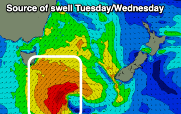
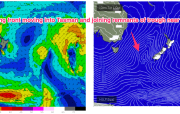
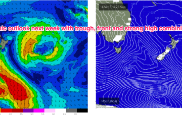
We’ve got a really dynamic outlook this week as a strong high drifts across from the Bight and a trough drawing in tropical moisture from the Indian Ocean moves across the country and eventually enters the Tasman Sea, with a front and long angled trough and possible surface low expected to form in the Tasman late this week.
No change to the wind outlook for the weekend- zonal fronts and weak high pressure to the west and well out in the Coral Sea supply W’ly ridging across Tasmania so more mod/fresh W tending NW winds across the weekend with minor S swells.
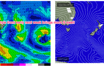
Next week we should see a stronger system move NE into the Tasman potentially generating some sizier S swell
By mid next week we may see freshening N-NE flow off the South Coast into Bass Strait generate some NE windswell, possibly sizey.
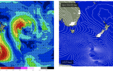
We have a follow-up front and trough expected to push into the Tasman later Sat, this time backed by a monster high (1042 hPa) in the Bight. Steep pressure gradients will create near gales to gales in a proximate S’ly fetch and whip up plenty of sizey S swell later Sat.

