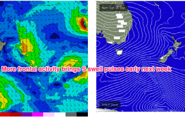
We’ll see another complex of S swell trains make landfall from Mon. Mostly mid period S from the frontal intrusion into the Tasman but there will be come much longer period swells in there from polar sources.
Primary tabs
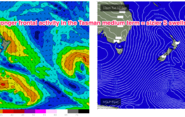
Longer term we may see some long period S swell action as well as swells from the E-E/NE as winds from the strong high feed into an inland trough. Altogether a much more active outlook.
Late next week we’ll see a more significant system develop as a trough deepens into a low off the NSW South or Central Coast.
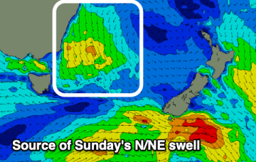
No major swells on the radar through the short or medium term but we should see some small episodic N’ly windswells.
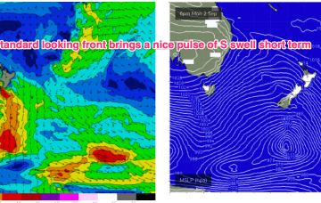
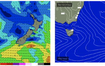
The front brings a bog standard blast of winter/spring style S swell through the short term, with the high quickly moving into the Tasman
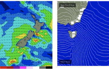
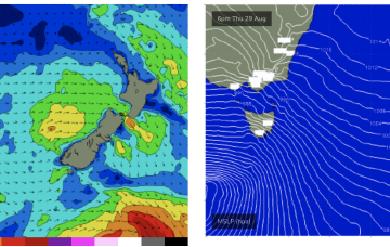
Gales out of Bass Strait get more of a NW tilt o/night into Sat morning which should generate another round of N’ly windswell.
The more N’ly tilt in winds across Bass Strait later tomorrow and o/night into Fri should lead to another burst in N’ly windswell for Fri.
The pattern of strong, zonal W’lies tied to polar lows and embedded cold fronts and weak mobile high pressure won’t offer much for NETas but we will see some small NE swells generated by radial spread from gales out of Bass Strait this week.
The coming period will become slow as the zonal westerly pattern kicks in across the state.
More small NE windswell pulses on offer next week, but the zonal flow is expected to strafe Tasmania with strong and gusty W-W/NW winds for most of next week so surfing conditions will be rugged.

