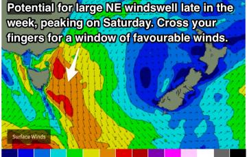
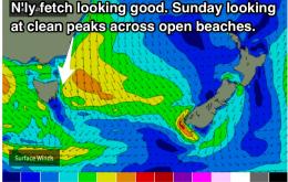
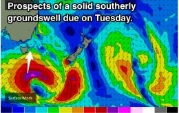
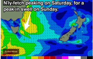
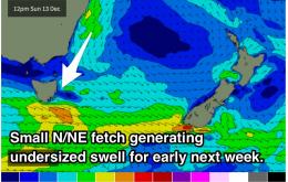
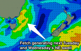
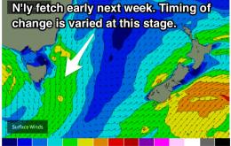
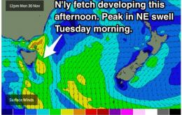
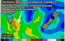
Fading swell over the coming days, but never fear, models are picking a strong increase in northeastelry swell for the open beaches late in the week and into the weekend, potentially exceeding 6ft by Saturday. Depending on the timing of a southerly change, we could be in for some great surf.
Primary tabs
We are still on track for a fun day of waves on Sunday, with a NE swell and offshore breezes. Tuesday's S'ly swell has been downgraded as the track and size of the system is looking less favourable.
Clean conditions each morning with a building NE swell peaking on Sudnay. Tuesday holds good prospects of a solid S'ly groundswell, potentially to the 3-5ft range.
Early stages of this week will start out tiny, slowly building off a northeasterly swell, peaking on the weekend under northwesterly breezes. Keep an eye on it.
Eastern Tasmania Surf Forecast by Guy Dixon (issued Friday 11th November)
Best Days: Wednesday morning
Recap:
Westerly breezes prevailed all day on Thursday keeping the line up nice and clean. There were a few nce 2ft options along the exposed beaches, however its faded back to a tiny 0.5-1ft today. The fact that the swell has disappeared is no big deal as southeasterly breeze is impacting the quality anyway.
This weekend (Saturday 12th - Sunday 13th):
There isn't much size to speak of on the horizon, with just subtle ebbs and pulses on Sunday and Monday. On the plus sides, winds look favourable as each swell peaks.
Hit it early each morning of the weekend for some inconsistent trade swell. Otherwise, Wednesday morning is looking good for most spots with a fresh NE and S'ly swell in the water.
The predominant swell direction over the coming days will favour the open beaches, providing a peak in size on the weekend. Winds should be light/variable most mornings, with the exception of Saturday which is expected to be under a southerly airflow. Saturday will also see the peak in swell, so hit up a protected southern corner.
Open beaches have a good looking little NE swell on the cards for Tuesday morning, fading thereafter. The effects of a long range, but inconsistent E/NE swell should then come into play from the end of the week, and across the weekend. Winds aren't looking too promising for the weekend at this stage.
We are in for a slow week ahead, with only small options at exposed location. A NE windswell is on the cards for Tuesday at open beaches, but the wind pattern could go either way.

