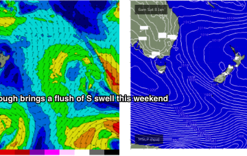
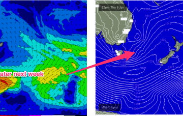
The rest of next week looks uneventful for the East Coast. A weak trough brings a slight bump in S swell Tues but its short period, weak stuff and unlikely to exceed 1-2ft.
Primary tabs
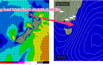
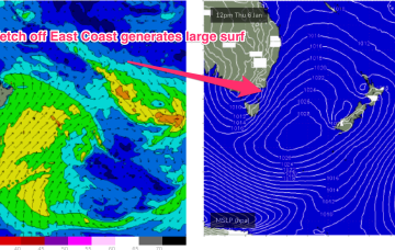
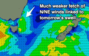
This fetch gets super-charged off Bass Strait and adjacent to the east coast of Tasmania by an interior trough, with E to E/NE gales expected to develop off the Gippsland coast later tomorrow (see below).
A second, much stronger swell from the E/NE to NE quickly follows as a dominant high slips under the state and quickly has a pressure gradient squeeze from an inland trough and the remnants of ex TC Seth.
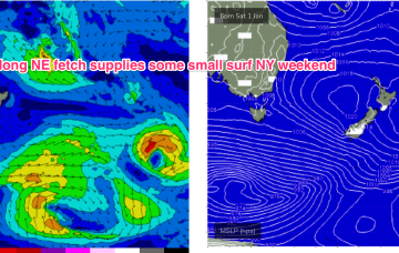
An intense sub-tropical low is expected to reach storm force Sun, spraying the entire East Coast with E/NE groundswell. Tasmania won’t miss out.
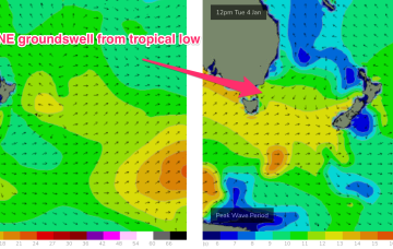
Tasmania won’t miss out with NE groundswell from the tropical system showing up Tues.
A few small/tiny days follow as weak pressure gradients become established as high pressure drifts across the State.
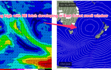
NE windswell looks to build from Thurs, as a dominant high drifts towards New Zealand, allowing winds from the western flank to form a coast hugging fetch south from Jervis Bay.
This swell should hold into Xmas Day, offering up potential for some good, albeit inconsistent surf with prevailing W’ly winds.
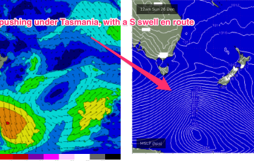
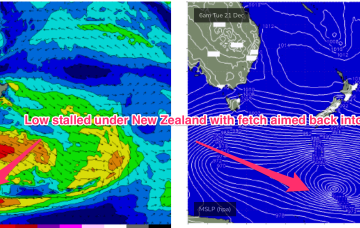
Of more interest is a longer period SE swell being generated from well below the South Island of New Zealand Tues/Wed this week (see below)
Tomorrow's N/NE windswell has been downgraded further and the coming outlook isn't too exciting.

