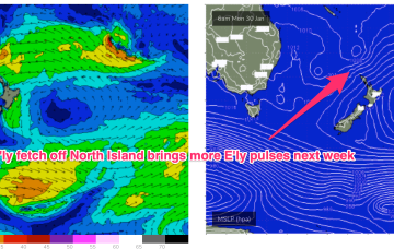
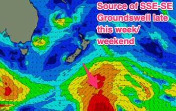
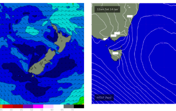
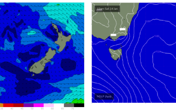
Small traces of E swell generated by fetches near the North Island supply some rideable surf if you can work around the shifty winds expected this week. A strong winter-calibre low becomes slow moving near Tasmania later this week bringing plenty of weather and S swell once it moves E of the state.
Primary tabs
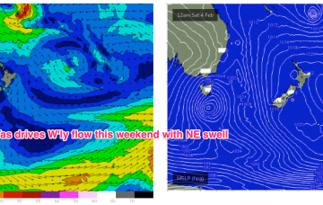
No change to the weekend f/cast. As high pressure drifts across the Tasman we get a rapid intensification of NE winds in the swell window leading to a building trend in NE windswell through Sat up to 3ft through the a’noon.
The synoptic pattern over and surrounding Australia still has a strong La Niña signature with troughy low pressure areas in the Tasman Sea and an active monsoon trough across Northern Australia. High pressure on the other side of New Zealand is cradling areas of low pressure and maintaining a small, fun E swell signal.
A troughy pattern exists through the Northern Tasman down to the South Coast with the remnants of TC 10P (named by JTWC but remained a cyclone for less than a day) drifting in a SW direction from out near New Caledonia as a weak sub-tropical low. A small low pressure cell near the South Coast is slowly drifting south bringing a variable NE flow and some useful E/NE swell as the fetch aims up at NETas.
Not much surf expected over the weekend. Light winds are on offer so whatever surf you can find should be clean but absent any real swell sources we’re looking at some small S swell wrap with a few 2ft sets at S facing beaches Sat, easing back to tiny on Sun.
Weak high pressure sits in the Tasman now, maintaining a NE flow across NETas as a trough and front approach from the W and SW, bringing a S’ly change today. S’ly winds and swell quickly build in the wake of the trough.
We’re in a bit of Groundhog Day pattern with another moderate high (1027hPa) moving into the Tasman, directing onshore winds across the Eastern Tasmania. These winds are tending NE before a stiff S’ly change Wed as a trough pushes through, tied to a front and low in the lower Tasman.
No great change to the weekend f/cast. We’ve got a weak, blocking pattern with high pressure (1025 hPa) right smack bang in the middle of the Tasman directing an onshore flow along the Eastern Seaboard, becoming fresh NE off the South Coast and into Bass Strait over the weekend.
An insipid Summer blocking pattern is now setting up as a weak high (1019 hPa) moves East of Tasmania and becomes semi-stationary in the Central/Lower Tasman. That will see a short/medium term pattern of onshore winds and small summer surf becoming established before a chunky NE windswell this weekend as high pressure moves out into the Tasman.
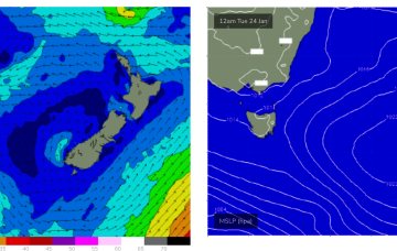
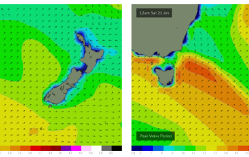
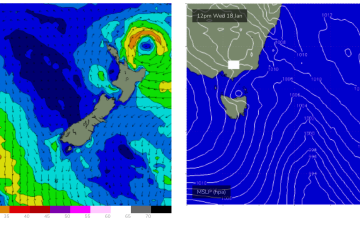
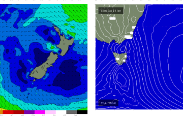
High pressure is expected to drift south of Tasmania this week, with a typical Summe wind pattern becoming established. Remnants of low pressure near New Zealand are offering up minor fetches out of Cook Strait (currently) and near the South Island which will supply a few small pulses of swell this week. NE fetches develop later in the week as high pressure moves out into the Tasman.

