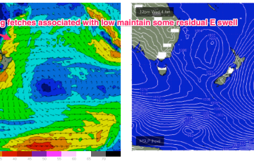
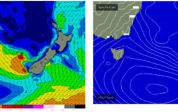
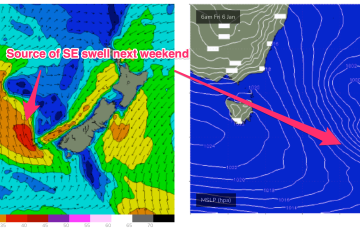
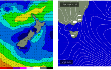
After a very slow moving synoptic pattern in the Xmas-New Years week we are finally seeing some movement as the tropical low which hived off the monsoon trough now journeys into the Southern Tasman, leading to building E/NE swells across NE Tas, where it will merge with a surface trough currently working it’s way north along the NSW Coast.
Primary tabs
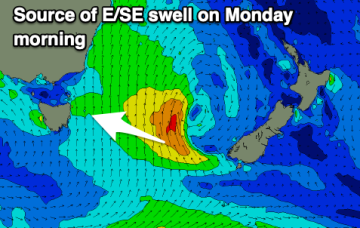
Current ASCAT (satellite windspeed) passes show a board fetch of strong E’ly winds now tracking SSW-SW back into the Tasman from a position half-way between New Caledonia and the North Island, generating solid ENE’ly swells which will radiate from the sub-tropics down to Eastern Tasmania this week.
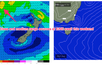
With high pressure in the Tasman we’ve got a mix of more local NE windswell and general E/NE swell from the winds in the Tasman over the New Years weekend.
The building blocks for a classic Summer monsoonal pattern are now firmly in place and almost the entire Eastern Seaboard from the Tropic of Capricorn to Tasmania is going receive swell as a result of it.
The high pressure belt holds good support for this low pressure area with reinforcing cells stacking onto a slow moving system located at South Island latitudes. Eventually this large low pressure system drags a board fetch south enough to send useful E/NE swell to NE Tas.
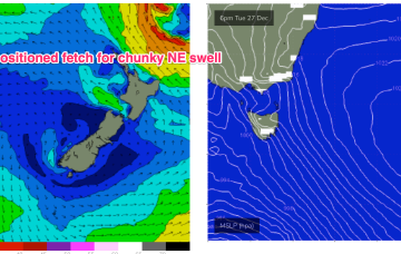
The high in the Tasman does set up a more local NE fetch though, with some chunky NE swell expected to develop Mid week.
Not much on offer over the Xmas weekend. Approaching fronts drive NW winds through Sat, tending more W’ly on Xmas day but no major swell sources are on offer so we’ll be looking at just tiny back ground swell from the E in the 1ft range.
As this swell generating pattern breaks down we’ll be left with a weak, troughy pattern coming into the Xmas weekend with no major swell sources on hand, so you’ll need to get your grovel boards ready for Santa.
Good options in protected spots as the swell continues all weekend and early next week while clocking more east in direction.
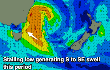
Windy, cold and with persistent swell energy from the south-eastern quadrant.

