The coming period will be dominated by south and then south-east swell energy.
Primary tabs
There should be some fun small east peaks on the weekend, with some larger localised south swell for next week.
Sunday is a different story as a strong front joins the developing low, bringing a fresh S’ly flow and a building S swell in the a’noon.
At 6am the coastal low is tucked in very close to the NSW/Victorian border with gales aimed primarily at Gippsland and NE Tasmania generating huge E’ly swells for NETas. By midnight the gale force flow ceases and by tomorrow all the flow will be W’ly through Bass Strait.
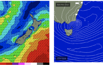
A deepening low will drift down right into us on Sunday/Monday bringing a large pulse of swell. It'll drop as quickly as it rises.
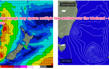
The low sweeps to the south this weekend while the trough buds off and forms a trough of low pressure off the NSW Central/South coast, bringing weather, onshore winds and large E’ly swells.
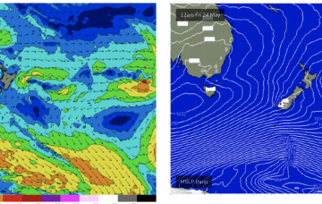
Fri looks a better bet as the fetch matures off the South Coast of NSW as a cold front arrives from the W.
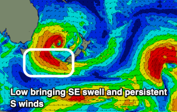
A complex polar low is approaching the NZ corridor and although the frontal progression looks a notch less favourable for swell production up the East Coast we’ll still see S’ly groundswell pulses over the weekend.
Local swell sources dry up but polar lows better aimed at Pacific targets will send some long period S swell up the pipe from Fri into the weekend before a more subdued outlook takes hold.
Another massive high is mooching in the Bight, with a snails pace of eastwards movement expected this week. Wind-wise that will anchor a S’ly flow in the short run before W’ly ridging resumes .


