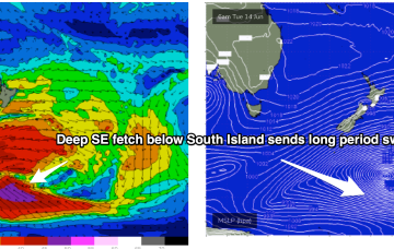
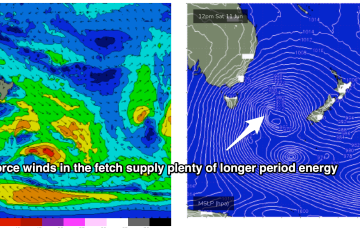
The Southern Gyre then sends one more pulse of SE groundswell our way later in the week.
Primary tabs
Sunday is a different story as storm force winds sweep past the state, bringing a S swell much larger than anything seen so far.
Sunday is a different story. The most powerful front in the series sweeps up past the state with severe gale to storm force winds sling-shotting around the parent low.
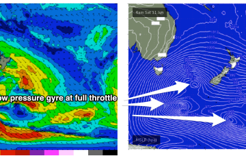
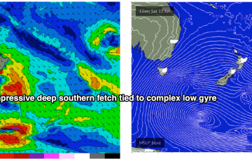
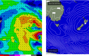
High pressure support along an elongated front and another deep low pressure gyre forming well South-east of the South Island super-charge a deep southern fetch Fri into Sat with an area of 20ft seas sling-shotting agressively North-east into the Tasman Sea.
Fading energy into the weekend ahead of building levels of S'ly swell in size and period later next week and weekend.
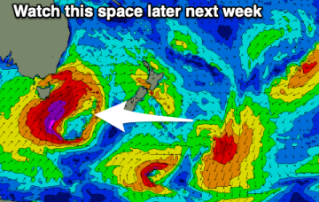
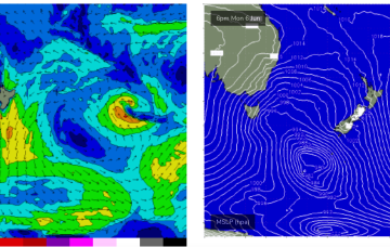
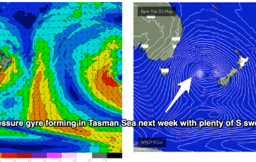
Brisk south-westerly winds and a complex low pressure gyre in the Tasman Sea, with multiple cold fronts and a deep S’ly fetch of gales extending down to 55S have ushered in the first day of Winter.
That system will drive gales across various area of the Tasman Sea, initially out of Bass Strait and adjacent to the Southern NSW Coast, then extending southwards to form a long fetch through the lower Eastern Tasman Sea.
Into next week and we’ll see stronger, longer period E swell from the Coral Sea/Tasman low start to build Mon with size boosting into the 3ft range under a light E’ly flow.
Sunday should see much better quality E/NE swell as the low pushing down from the tropics drags a fetch of E/NE winds into the Tasmanian swell window.
Through later Wed we’ll see some small NE windswell pop up as the high meanders into the Tasman and the western flank pushes NE winds down the coast from southern NSW into Bass Strait.

