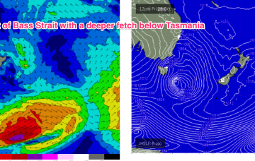
Weak fronts are below the country and an inland low is tracking across from WA, tied to the continuing pattern of interior troughiness which is associated with a developing La Nina pattern. This pattern, which has been with us for most of the last few weeks, is expected to see continuing small, flukey swells into the medium term.
Primary tabs
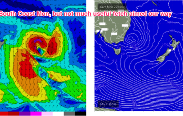
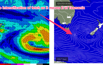
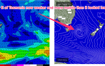
A deep mid-latitude low with high pressure support in the Bight and multiple cold fronts has now moved E of Tasmania with W to SW gales pushing out of Bass Strait and a deeper SSW fetch pushing up from the Southern Ocean into the Tasman Sea. It’s a wintry looking system and it has a nice sting in the tail as a small troughy intensification slingshots up into the Tasman Sea through tomorrow, giving another longer period pulse S swell to add onto the main body of the swell.
Winds will be from the Western quadrant all weekend and the surf is likely to be ironed flat in SEQLD, with the small S swell trains on offer not likely to make landfall north of the border, save a few small peaks at the mouth of the Tweed.
No great pressure gradient squeezes are on offer at present with only flabby high pressure drifting NE in the Tasman sea. Weak swells and wind changes continue.
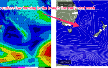
Pressure gradients are weak across our main swell windows and through the region as an interior trough drifts NE and a weak, troughy area extends out into the Tasman sea, without creating much of a squeeze on a weak high pressure centre over New Zealand.
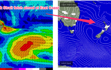
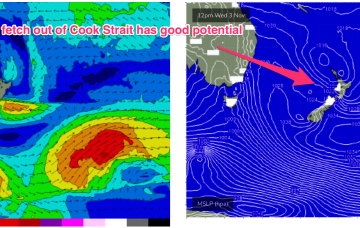
The fetch out of Cook Strait, extending up past Taranaki Peninsula and into the Tasman sea looked good on ASCAT (satellite windspeed) passes through Wed/Thurs, with areas of storm force winds embedded in a long fetch of severe gales to low end gales. With the buoys and observations already confirming the swell it’s only local winds we’ll be concerned with.
The good news for our surf prospects is a complex low pressure system located just NE of the North Island is strong enough and large enough to generate severe gales to low end storm force SE/ESE winds out of Cook Strait, adjacent to the Taranaki peninsula and extending out into the Eastern Tasman sea.
A large (1025 hPa) high pressure system is currently drifting over Central NSW into the Tasman sea and this high pressure cell is expected to track SE, strengthen and become slow moving as it meanders near the South Island for most of this week. That creates a summer-style synoptic pattern, with SE/ESE Tradewinds through the sub-tropics and a N’ly flow through temperate NSW.
In addition to S swell there’s quite a strong high pressure surge of SE winds developing over the weekend. This surge of 20-30knot SE winds is likely to push wave heights up into the 3ft+ range, especially in SEQLD, through Sun.
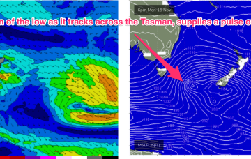
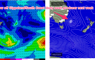
Eventually the low pressure system tracks into the Tasman, and with an associated front forms a low in the active window E of Tasmania overnight Fri/early Saturday. That will see some new S swell arriving on the weekend.

