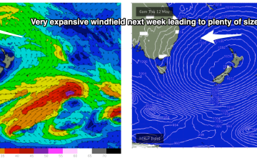
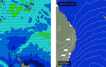
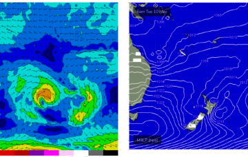
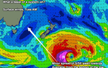
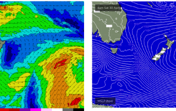
We’re going to see multiple overlapping pulses of S swell over the coming days as fronts slingshot around the parent low on an active sea state, with the biggest surf coming with some dodgy winds as the high pressure ridge sets up. Following that an active tradewind pattern in the Coral Sea supplies another round of E swell.
Primary tabs
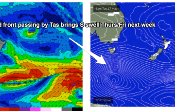
Stronger fronts push up into the Tasman from later Wed, bringing a S'ly flow and bigger S swell as we head to the end of the week.
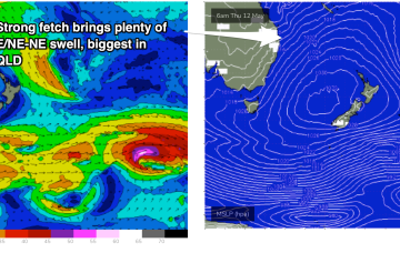
The fetch of deep E to E/NE winds in the Coral and Northern Tasman Sea is contracting northwards around a surface low off the CQ/Fraser coast, and expected to fizzle out over the weekend. At present gales are retrograding towards the QLD, generating large swells.
A long interior trough and developing trough/low off the North QLD coast are tightening the pressure gradient along most of the ridge, bringing fresh onshore winds and a deep E’ly pattern to the majority of Tasman Sea and Central/Southern Coral Sea.
Further north an interior upper trough and potential coastal trough/surface low will combine to drive an intense E/NE to NE wind flow through the Coral and Northern Tasman Sea, generating a large stormsurf by Fri.
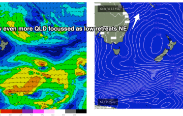
GFS has the more bullish outlook, with a trough or potential surface low forming off the Fraser Coast and tracking south through Fri13th- energising a long E to NE fetch through the Central Tasman to Coral Sea. In effect, it’s a slightly less energised version of the June 2016 Black Nor-Easter set-up.
We’ve got more of the same for the next few days. Next week though...
High pressure is sitting over the interior of Central NSW, leading to SE wind conditions, with a trade flow in the South Pacific supplying a steady drumbeat of fun, mid-sized E’ly swell.
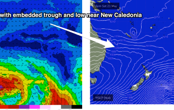
The broad trade pattern supplying the weekend’s swell source will become enhanced over the coming days as a tropical low between New Caledonia and Fiji this weekend squeezes the synoptic flow.
A large 1029 hPa high pressure system is sitting smack bang in the middle of the Southern Tasman Sea in a deepening phase, with a series of tropical troughs in the Northern Coral Sea beginning to expand Tradewinds through the tropics.

