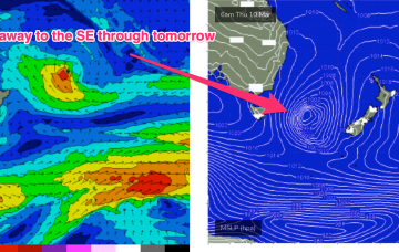
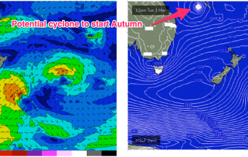
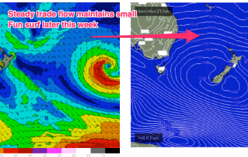
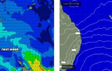
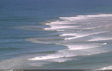
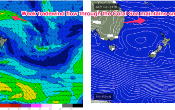
This fetch is producing a fast rising S swell through today in Southern NSW, with the bulk of the swell generation for our f/cast region occurring once the fetch moves out of swell shadow of the Hunter curve.
Primary tabs
This fetch is enhanced by a pressure gradient squeeze with another strong high currently moving East in the Bight. Meanwhile, out in the South Pacific a sub-tropical low is deepening well E of the North Island with a well aimed fetch expected to be aimed at the sub-tropics generating a long range E’ly groundswell for the weekend.
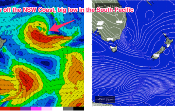
That marks the emergence of another major system, as the remnants of the trough/low get re-energised by another upper disturbance being pushed Eastwards by a high in the bight.
This is maintaining a deep E’ly flow, with coastal troughs and a surface low off the NSW North Coast, now moving South.
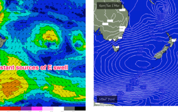
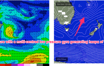
The basic building blocks of the pattern are a strong high pressure belt cradling multiple low pressure systems in the Coral Sea and South Pacific- essentially creating a huge, multi-centred low pressure gyre through a vast area of ocean to our east.
This will be generated by the increasing winds in the deep E’ly wind field retrograding W towards the coast as a large area of tropical low pressure off the QLD coast starts to deepen and move S.
Trade flows across the South Coral and Northern Tasman Sea won’t be particularly strong this week but the broad scale coverage of winds and an uptick in wind strengths in more proximate areas of the fetch Tues/Wed will be enough to see a modest building trend into Thurs and Fri, albeit a bit underwhelming compared to model guidance on Fri.
A weakening trough moving up the NSW coast will peter out across the Northern Rivers on Saturday morning.
Looks like broad brushstrokes can be used to outline the next few days
Under the influence of the high pressure belt it’ll be a week of SE to E/SE’ly winds and a small blend of E’ly tradewind swell trains.

