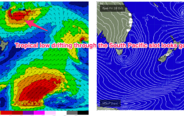
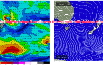
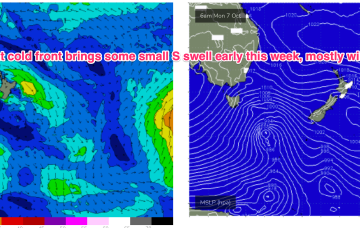
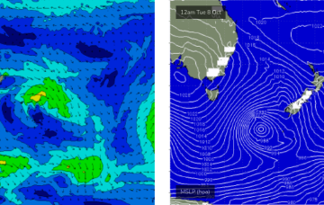
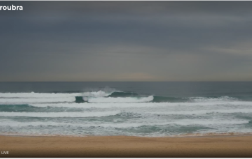
The current low located near Lord Howe Island dissipates through today with easing winds along the Eastern Seaboard as a result. Weak pressure gradients then occupy the Tasman through the mid week, offering up good conditions as a long range E swell makes landfall.
Primary tabs
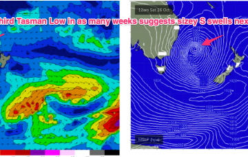
A low is expected to move E of Tasmania o/night and form a broad low pressure trough in the Tasman driving W’ly then S’ly winds along the NSW coast before moving NE as a surface low over the weekend. That will be the second surface low in succession to form in the Tasman and we may yet see a third develop later next week.
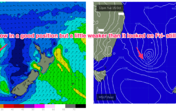
We still have low pressure roughly due east of the NSW/Victorian border buttressed by high pressure near New Zealand. It’s not a very strong system but we did see a little flare up on the southern flank o/night into this morning before the system began to dissipate, although it is expected to linger in the central Tasman
Overall though, the surf potential has been toned down as windspeeds remain limiting and the system dissipates as it lingers in the Tasman. Local winds also take a couple of days to improve.
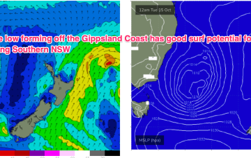
The trough looks to rapidly deepen into a broad surface low off the Far South or Gippsland Coast o/night Mon into Tues. There’s still model divergence over the strength and position of this low which will have material impacts on surf size and local winds so stay tuned for updates over the weekend and on Mon.
The current S swell will ease through tomorrow with a pair of cold fronts passing into the Tasman Thurs/Fri ahead of another trough and high pressure ridge. In short, we’ll see pulses of S swell but favourable winds will be short-lived.
That will bring a robust S’ly change tomorrow and some workable S swell for temperate NSW, with a trough in the sub-tropics tilting the change more S/SE-SE later tomorrow into Wed.
We’ve got some great waves due this weekend, with light offshore winds both days and only weak sea breeze an outside risk each afternoon.
The models have marginally downgraded the developing Tasman Low generating Saturday’s large SE swell
We’ve got a dynamic outlook ahead, though the next few days look a little tricky for surf.


