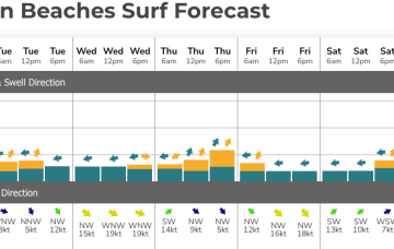
Once that high moves offshore we’ll see N’lies kick in for the rest of the week with only a weak trough expected to interrupt that pattern. No major swells on the radar through the short or medium term.
Primary tabs
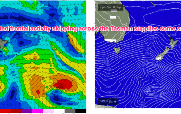
After strong winds and unseasonal heat build ups we’ll see a more typical seasonal pattern for the short term with a high in the bight and a strong front pushing into the Tasman as a parent low slips under Tasmania.
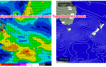
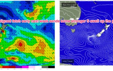
We’ll see a deep parent low finally moving below Tasmania early next week after generating multiple large swells for Victoria. As the low moves eastwards we should see a final frontal passage through Bass Strait and with a fetch SE of Tasmania, generating a sizey S swell for early next week.
In the short run we’ll see the current severe gales out of Bass Strait (60kt gusts recorded at Hogan Island!) generate a stronger S swell for tomorrow.
The pattern of strong, zonal W’lies tied to polar lows and embedded cold fronts and weak mobile high pressure won’t offer much north of Seal Rocks but we will see some small S swells generated by gales out of Bass Strait this week with a mostly NW-W flow across southern NSW and NW-N in the sub-tropics.
A strong cold front will cross Victoria on Sunday afternoon, and we’ll see W/SW gales exiting eastern Bass Strait on Monday.
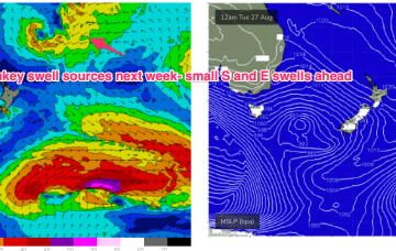
A strong zonal pattern with embedded fronts and troughs is under the continent and moving eastwards. That pattern is briefly interrupted by a trough and front today before resetting again over the weekend. No major swell sources on the radar so we’ll see if we can find anything flukey to work with.
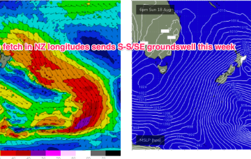
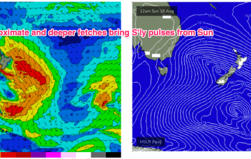
A deeper fetch now operating near New Zealand longitudes is better aimed at Pacific targets (some to Fiji, most to Tahiti) with some sideband S/SE groundswell due through the middle of this week.
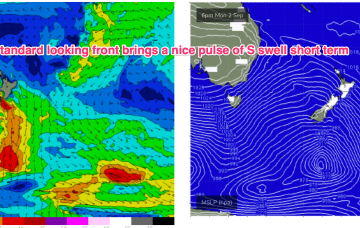
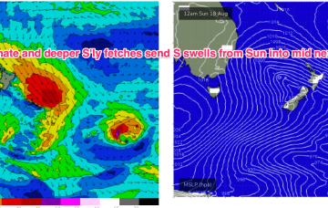
Proximate winds will generate a pretty bog standard winter-style spike in short range S swell.
This pattern breaks down as we head into the weekend leaving a broad troughy area of low pressure in the Tasman which is expected to redevelop over the weekend and generate sizey S swells later in the weekend and early next week.

