There’s a couple of sneaky swells on target for the weekend.
Primary tabs
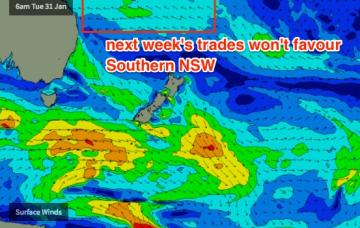
I’ve been keeping a watch on the trade swell across Northern NSW and it seems to be still reaching a peak this afternoon. Whilst this is inline with expectations, it’s therefore worth increasing the projected heights for Southern NSW on Saturday.
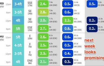
The current short range E'ly swell episode is peaking across the coast and will begin a downwards trend through Thursday.
Thursday morning is probably a better choice if you're planning which day to surf this week.
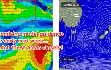
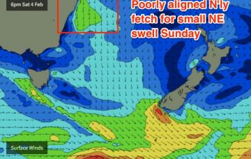
The models are suggesting an unusually thin, elongated fetch thanks to a broad supporting ridge to the south, and the slow northward track of this system is somewhat interesting as the fetch will hang in the swell window a little longer than usual, which should boost size prospects.
Look, I can go into comprehensive detail about the synoptic for the next few days, but in short we’re looking at a continuing period of small weak surf.
These overnight NE winds should kick up some more of what we’re seeing today, but the trend will ease through Tuesday
Freshening NE winds on Monday will generate peaky NE windswells throughout the day day should hold into Tuesday
Although the models did pretty well with today’s short period S’ly swell, I reckon they’ve undervalued tomorrow’s S’ly groundswell.
The polar low responsible for some of yesterday’s and all of today’s southerly quadrant energy is an unusual system on many fronts.

