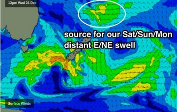
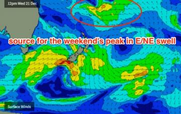
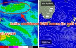
In Wednesday’s notes I mentioned a possible tropical depression near New Caledonia early next week that had the potential to generate a stronger E/NE groundswell for the second half of next week. Fortunately, the models have come inline with this thinking and they’re expecting a substantial easterly dip to form between SE Qld and New Caledonia around Tuesday.
Primary tabs
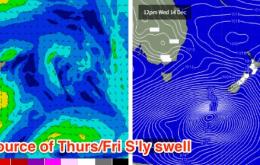
We’ve got a couple of swells due on Thursday.
This swell is expected to reach maturity around Wednesday or Thursday, which means we’ll probably see a peak in size around Saturday or Sunday.
The models are a little more confident for a fun NE swell on Saturday than I am.
Overall, nothing special - and there’s certainly a chance local winds could throw a spanner into the works - but exposed beaches should have some little peaks to finish the working week.
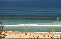
Only small surf is expected for the next few days.
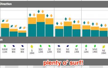
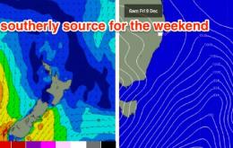
We’ve got plenty of south swell on the way and winds should be light early morning, creating clean conditions at most beaches.
Fortunately, the models have slightly upgraded the strength of the front as it passes through eastern Bass Strait overnight Thursday. As such the southerly swell forecast for Friday has been increased since Wednesday’s notes.
Ain’t much in store for the short term.
We’re still looking down the barrel (boom, tish) of a poor weekend of waves.


