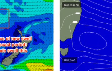
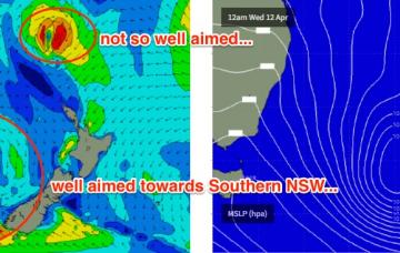
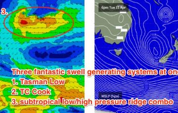
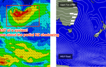
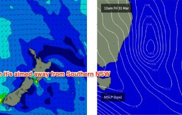
A deepening surface trough south of Fiji on Friday is expected to form a nice easterly dip over the weekend. At the moment it’s expected to slowly consolidate into a decent swell producing system by Sunday or Monday, however by this time it’ll start to push close to the swell shadow of New Zealand’s North Island.
Primary tabs
Our current long range E’ly swell is expected to continue motoring along into Tuesday, though a gradual easing will probably occur into the afternoon.
The three-way merger in the southern Tasman Sea isn’t doing anything interesting from a synoptic perspective so the resulting southerly groundswell for the weekend won’t be anything amazing.
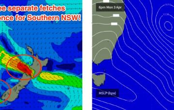
The Tasman Low has been restrengthening close to the SW tip of New Zealand’s South Island over the last 36 hours.
Sydney, Hunter and Illawarra Surf Forecast by Ben Matson (issued Monday 10th March)
Best Days: Thurs/Fri: solid swells from the SE plus a smaller NE swell Thurs, with offshore winds. Sat/Sun: rebuilding S'ly swells, plus a small long range E'ly swell. Mainly favourable winds. Mon: rapidly easing SE swell with a slowly easing E'ly swell, and offshore winds.
Easter outlook is UNREAL regardless with good winds and a solid mix of S/SE swells plus a couple of E/NE swells from these cyclones and their surrounding features.
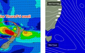
The models every so slightly eaed back the stretch of the E’ly fetch out of Cook Strait, so the resulting E/SE swell for Thursday will be a little smaller and a little later in its arrival than was suggested on Monday.
Plenty of surf this week but tricky winds for the next few days.
The second half of next week looks unreal.
Saturday should be OK though it may be a little lumpy and leftover from Friday’s winds.

