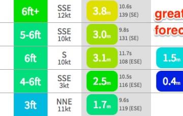
So, we've got continuing large easterly swells and light offshore winds for the next few days.
Primary tabs
Over the weekend, the trend reversed - and now we're looking down the barrel at the biggest and best Tasman groundswells since last June’s Black Nor’easter.
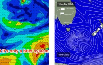
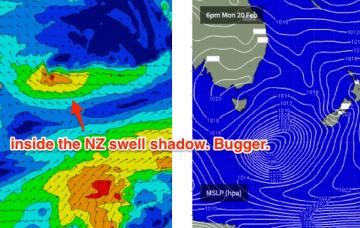
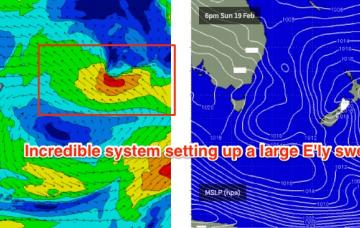
The low forming north of Sydney right now is expected to slide S/SE during Saturday, and in doing so will swing an initial E’ly fetch around to the SE and then the South.
The best part of the current synoptic setup is that it’s associated with a blocking pattern, which means very little west-east movement in the broadscale systems. And this is a good thing, as it’s going to allow the weekend's Tasman Low to meander through our swell window for quite some time.
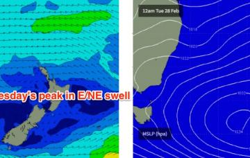
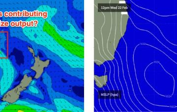
A high pressure system across the south-eastern Tasman Sea and a broad area of low pressure across the tropical waters north of New Caledonia are creating an easterly squeeze between the two.
From here on it looks like we’ve got a blocking synoptic pattern setting up in our eastern swell window, comprising a coastal trough in NSW and a high pressure system in the south-eastern Tasman Sea. And as a result we've got some really good surf on the way.
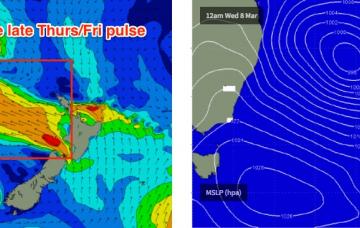
Friday has some interesting model output, which is making it bloody hard to reconcile the likely surf outcome at my end.
The weekend’s coastal trough is consolidating into a broad low S/SE of Tasmania at the moment.
The current NE flow off the coast will continue to generate NE swell into Saturday.
Aim for Saturday as it’ll offer the pick of the weekend’s waves.

