As a surf forecaster, one of the hardest times to make a decision is mid-swell event, when the early stages of said event haven’t lived up to expectations. That's where I am right now.
Primary tabs
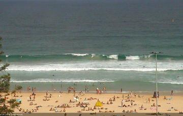
As we’re already seeing 2-3ft sets across NE facing beaches late this afternoon, this size range should be present for the dawn patrol but get in early as it’ll ease throughout the day.
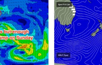
The models have slightly strengthened the NE fetch off the Hunter/Mid North Coast on Friday afternoon and evening, and with some luck the associated swell increase will persist into Saturday morning.
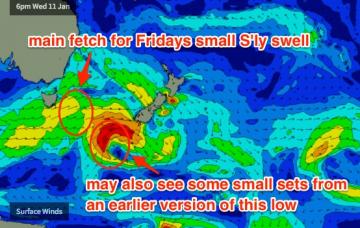
A secondary front trading behind this low looks a little better positioned with strong SW winds expected to nose into the lower Tasman Sea on Thursday. This should generate a slightly bigger south swell for Friday.
Saturday will see a combination of swells: initially a continuation of the slow peaky E/NE energy showing today, plus a small long period S’ly swell generated by a vigorous mid-week Southern Ocean low passing well south of the continent.
Our SE swell from today will ease into Thursday but we’ll see a continuation of peaky E’ly swell from a modest ridge through the central/Northern Tasman Sea.
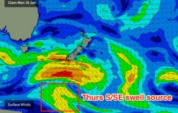
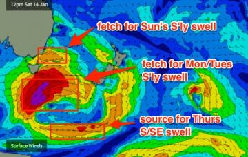
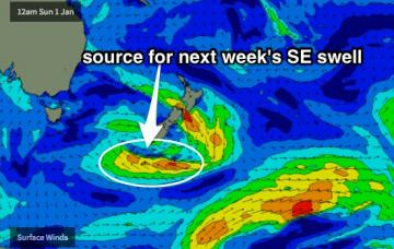
Also arriving across the South Coast on Tuesday afternoon will be an unusual SE swell generated by a slow moving trough south of New Zealand over the weekend.
There’s not a lot of surf happening this weekend, but you will get wet if you’re keen.
The strongest phase of this setup will occur overnight tonight so Thursday morning will consequently see the largest surf.
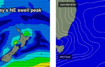
A stationary blocking high in the Tasman Sea will direct N/NE winds across Southern NSW right through this week and into the weekend

