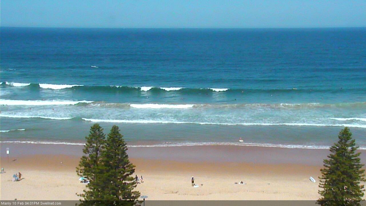
Fun pockets of surf in Southern NSW; long term has tropical potential
Sydney, Hunter and Illawarra Surf Forecast by Ben Matson (issued Friday 10th February)
Best Days: Sat: fun ENE swell early with mainly light winds (could be a leftover S'ly in the Hunter). Sun: small clean leftovers with early light winds. Mon/Tues: strong S'ly swell with reaosnable conditions. Next weekend onwards: chance for a significant E/NE groundswell.
Recap: E’ly swells have slowly eased over the last few days, though a little slower than anticipated. Wednesday afternoon ended up pulsing slightly (as originally expected in Monday’s notes!) offering 4-5ft sets on dark, so Thursday ended up more 3-4ft than 3ft+ (as forecast - it's a small difference, but it all matters). Today, we’ve seen the E’ly swell pull back but the trade swell punch a little higher than expected with occasional 3ft sets at exposed beaches (though mainly 2-3ft). In hindsight, I should have upgraded Sydney’s estimates from this source - having done the Sydney forecast before the Northern NSW/Queensland forecast - I pegged the Mid North Coast in the 3-5ft range for today (which came in spot on) and that should have translated into ~3ft or so across the Southern NSW region. But unfortunately I was in too much of a rush to realise and recalibrate (hindsight’s always very clear, eh?). Winds have been mainly light so conditions have been clean.

Fun E/NE swell across Manly this afternoon
This weekend (Feb 11th - 12th)
I’ve been keeping a watch on the trade swell across Northern NSW and it seems to be still reaching a peak this afternoon. Whilst this is inline with expectations, based on today's observations it’s therefore worth increasing the projected heights for Southern NSW on Saturday.
The models are suggesting surf around 2ft but I think exposed NE facing beaches will probably see early 3ft sets ahead of an easing trend during the day. Expect smaller surf at south facing beaches.
A southerly change associated with a weak trough will push across the region overnight tonight (it’s just approaching Nowra now), but this should largely clear to the east by the morning, allowing for conditions to improve quickly. There may be some leftover wobble at first across south facing beaches but they’ll be picking up the smallest surf size anyway (southern ends will be bigger and cleaner).
If anywhere, the Hunter coasts are more susceptible to this lingering southerly, winds should become variable with sea breezes elsewhere.
Sunday will then see a continuation of the easing E/NE swell, and mainly light variable winds ahead of a gusty afternoon S’ly change that’ll probably reach the South Coast after lunch and then the Sydney region late afternoon. Expect set waves up to 2ft across exposed beaches and smaller surf elsewhere.
Interestingly some of the high res models have a shallow S’ly change glancing the coast overnight Saturday but I don’t think it’s too much to worry about.
Next week (Feb 13th onwards)
A reasonably strong front progression will kick up a solid south swell through Monday and into Tuesday, and mainly moderate SW tending S’ly winds on Monday will then become light and variable with sea breezes on Tuesday.
South facing beaches should pick up 4-5ft sets at the height of the swell through Monday afternoon and early Tuesday, maybe a handful of 6ft bombs here and there (more likely in the Hunter) but it’ll be smaller elsewhere with a mix of swells including some small residual trade swell.
Wednesday onwards will then see a steady drop in size and typical early light winds and afternoon NE breezes across the coast.
Looking further out and as speculated in the last few notes, we have some dynamic tropical activity expected to converge south of Fiji later next week which could be result in the development of a major E/NE groundswell for our region either next weekend or early the following week. More on that in Monday’s notes.

