Small weak swells for the foreseeable future; Tuesday the pick
Sydney, Hunter and Illawarra Surf Forecast by Ben Matson (issued Friday 27th January)
There's only a couple of days left to sign up for the P-Pass competition! Sign up to Swellnet’s newsletter and receive the Sydney, Hunter and Illawarra Forecaster Notes and latest news sent directly to your inbox. Upon signup you'll also enter the draw to win a surf trip to P-Pass for you and a mate. It doesn’t get much easier so click HERE to sign up now.
Best Days: Nothing great but there'll be small waves most days. Tues the pick with a small NE swell and a chance for light winds to develop.
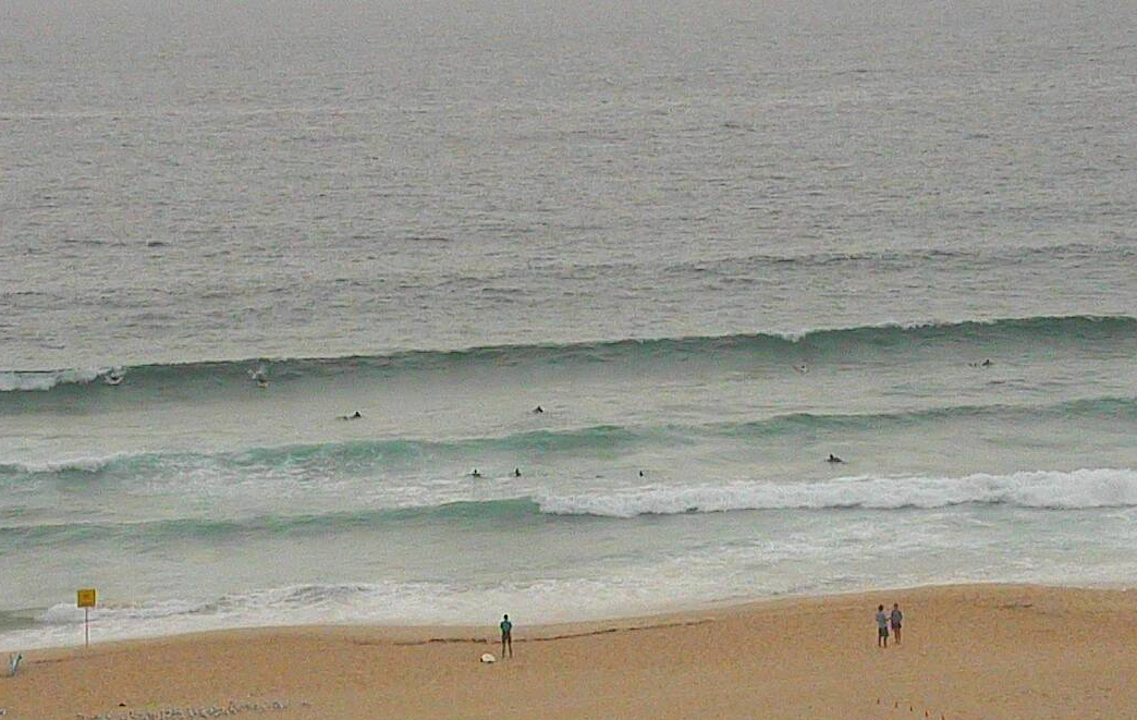
Recap: Thursday delivered fun waves with a small S’ly swell around 3ft and a light southerly breeze. Today, we’ve seen size drop to a weaker 1-2ft and light to moderate southerly winds are putting a few bumps on the surface at exposed spots.

Lumpy lines at Bondi on Thursday
This weekend (Jan 28th - 29th)
Looks like a slow weekend of waves.
The models have eased back the strength of the local NE flow, so we won’t see much size from this source. Exposed NE swell magnets may pick up a few small waves building very late on Saturday afternoon and (more likely) into Sunday with slow 1-2ft sets, but there won’t be much in it.
Otherwise, a small long range pulse of S/SE swell from a mid-week intensification around the long-lived polar activity south of New Zealand may generate very inconsistent but surf able waves at south facing beaches on Saturday, and possibly (at a stretch) on Sunday.
The models have undercalled most of the energy originating from this next of the woods over the last few weeks, and I think Saturday could see slightly better surf than the model guidance is suggesting (1ft). I’d be surprised if it were much more than an occasional 2ft at south friendly beaches but it’ll be worth keeping an eye on the Bondi cam. If we do see waves from this source they will however be quite infrequent.
Otherwise, winds look ordinary with early light variable patterns Saturday morning freshening from the NE during the day ahead of a shallow trough in the early hours of Sunday morning that’ll swing winds around to a light S’ly at some point during the day. However they won’t be swell producing in any way.
Next week (Jan 30th onwards)
Freshening NE winds on Monday will generate peaky NE windswells building throughout the day; they should hold into Tuesday, peaking around the 2-3ft+ mark at reliable NE facing beaches.
Whilst Monday will likely be wind affected from NE breezes, Tuesday has some potential with another shallow trough moving up the coast that could instigate a period of light variable winds (ahead of a moderate S’ly change).
Other than that there’s no major surf on the horizon for the next week and a half. The Tasman Sea is expected to remain inactive; the only source worth keeping an eye on is a burgeoning trade flow north of New Zealand that should give rise to a small, long lived E/NE swell event beginning later next week and likely persisting for four or five days across Southern NSW. However no major size is expected from this source.
Lastly, the models are still maintaining a small but stationary polar low S/SE of New Zealand throughout the entire forecast period. This has the potential to supply a continuation of small intermittent S/SE swells for the forseeable future, though without any major length or width in the fecth, likely surf size in Southern NSW will be small.
Have a great weekend, see you Monday!


Comments
must be poorest dec/jan period for waves that I can remember? at least 15yrs! bring on autumn /winter
well thats good to hear because having moved crossed the boarder from Coldland to the northern beaches I was starting to worry this is it !
A shocker for sure.
There's that small sneaky SSE swell I mentioned.
Wow! Looks good
Newcastle has surprisingly done the best out of this small short range NE swell over the last two days.
Here's Sunday morning:
And here's this morning: