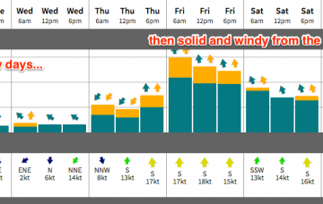
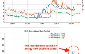
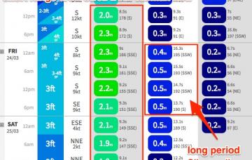
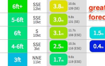
On Sunday, a very long period (19-20+ second) S’ly groundswell - originating from a sneaky polar off the Ice Shelf south of SA this Wed and Thurs - is expected to make landfall across the Sydney region.
Primary tabs
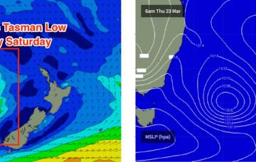
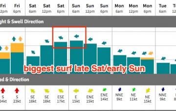
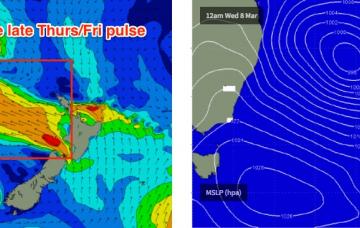
The models have ever so slightly delayed the backside phase of the Tasman Low for today, which means it’ll remain active for a little longer than anticipated in Wednesday’s notes, and will therefore provide good quality surf for more of the weekend.
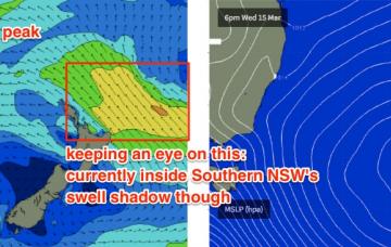
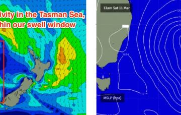
A new Tasman Low is developing at the moment, and it will generate a fresh S/SE swell that’s expected to build throughout the day
A broad inland trough across the eastern states is slowly shifting eastwards. It’s freshening NE winds about the Southern NSW coast but ultimately won’t generate much quality surf over the next few days, owing to a lack of strength in the surface wind field.
We’ve got a wild weekend of wind, rain and large surf ahead.
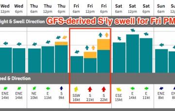
There’s no real change to the forecast for the rest of the week, however Friday’s looking pretty complex locally as a low develops off the coast.
There’s nothing I love more than a relatively stationary synoptic pattern. Slow moving weather systems - even small, weaker patterns - always have their swell potential amplified and often result in a much more drawn out event, which increases the chances of finding favourable windows of opportunity. And that’s what we’re looking at this week.
As such we’re looking at plenty of strong swell to kick start the weekend, and the swell direction will probably shift back to the SE under the influence of this secondary pulse.
So, we've got continuing large easterly swells and light offshore winds for the next few days.
Over the weekend, the trend reversed - and now we're looking down the barrel at the biggest and best Tasman groundswells since last June’s Black Nor’easter.

