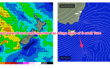
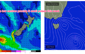
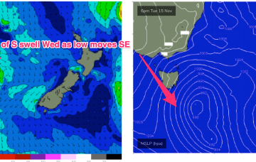
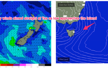
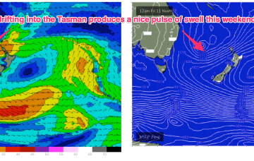
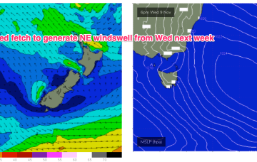
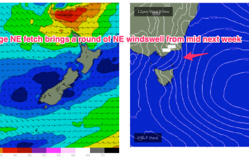
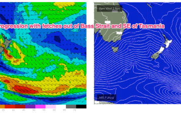
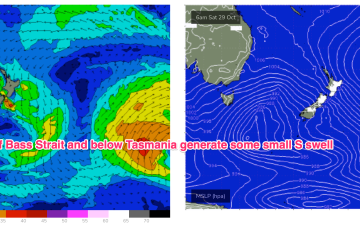
The complex low system we mentioned Mon is now moving into position with a small low cell East of Tasmania and a deeper parent low tracking through the lower Tasman. The low east of Tasmania moves NE and joins other areas of troughy low pressure to form a large low pressure gyre which occupies most of the Tasman Sea through the latter part of this week.
Primary tabs
A warm front has bought a W’ly change to temperate NSW, extending southwards to Tasmania. Through the early part of this week the low slips SE of Tas and a complex, troughy pattern with multiple low centres sits in the Tasman. This complex low pressure area eventually gets squeezed by an oncoming high generating fresh S’lies and which overlap with deeper S’ly fetches to create a series of S swells this week.
By Sunday an approaching cut-off low and high in the Tasman drive a straight onshore E to NE flow onto the East Coast.
A more local fetch of NE winds is now developing off the South Coast of NSW and into Bass Strait with a corresponding rise in NE windswell expected for NETas.
A long trough line extending from the Solomon Islands to the North Island spins off some small low pressure areas this week. Although not quite as spectacular as model runs suggested last week we’re still in for some fun NE swell this week with a juicier pulse expected late this weekend and into early next week.
No great change to the weekend f/cast. A last pulse of longer period S swell generated by a final frontal progression and parent polar low transiting the Southern Ocean extends through Sat after filling in later Fri.
We’re in the middle of a winter-style pattern more common in August than November with a small low formed in along a front/trough line off the Gippsland Coast accelerating W’ly winds across most of the Eastern seaboard and Tasmania. A series of deeper fronts and lows are also transiting the lower Tasman as part of this cold outbreak.
All the action is in the Southern states right now, with a deep dual-centred low pressure gyre backed up by a strong high moving in from the Indian Ocean generating a powerful fetch which is just behind Tasmania with respect to the S swell window.
Into next week and a quick spike in NE windswell is expected Mon AM into Tues AM as another mid-latitude low approaches from the Bight and tightens the pressure gradient with the high in the Tasman.
Our Coral Sea low is now sitting just NE of Tasmania where it has merged with an exiting interior low to form a large, slow moving low-pressure gyre. Troughs are still snaking across Australia with a long trough line extending from the low pressure gyre through inland NSW up towards QLD and then into the Northern Territory, expected to move offshore through today. More embedded troughs and fronts approach the Island during the rest of this week, driving an unstable but basically NW’ly to W’ly biased wind flow across the f/cast region through the end of the week with easing swells.

