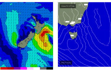
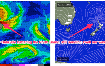
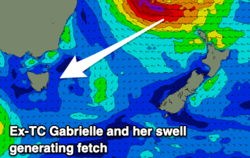
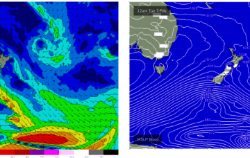
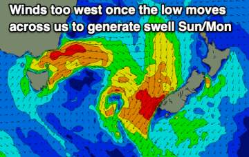
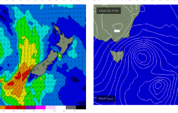
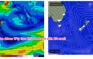
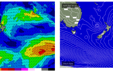
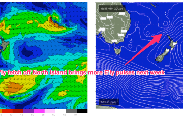
Ex TC Gabrielle (SS) is now on the eastern side of the North Island with swell generating winds also in the swell shadow of the North Island. A weak (1017HPa) high is covering most of the Tasman Sea with an active monsoon trough still supplying plenty of tropical moisture and instability across Northern Australia. Remnants of a trough near the South Island have set up a weak, off-axis fetch back into the Tasman Sea while transient N’ly fetches off the NSW South Coast supply some small, weak NE windswell. It all spells a much quieter period of surf ahead.
Primary tabs
Ex TC Gabrielle is still the main game as far as swell production goes. The former cyclone is now a large sub-tropical storm (SS) slow moving near the top of the North Island. Current ASCAT (satellite windspeed) passes show a broad but short fetch of gales to severe gales extending off the west coast of the North Island, slightly off axis for the East Coast but maintaining a strong swell regime in the short term.
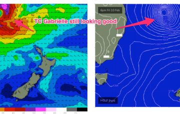
Severe tropical cyclone (Cat3) Gabrielle is currently tracking SE at about 21 knots and is located about 413 nm NE of Brisbane. This severe storm is expected to undergo an extra-tropical transition through Friday evening, resulting in an expansion of gale to severe-gales around its southern flank as it continues drifting south-east towards New Zealand.
There's not much to work with over the coming days, but next week we'll see strong energy from ex-TC Gabrielle.
In the short run and a passing front brings S/SW winds tomorrow. The fetch is mostly too zonal for the East Coast but a long trailing fetch should help some small S swell wrap in with size building to 2ft later Tues and holding into Wed at slight larger levels.
Try and make the most of the current E/NE swell before it fades.
The unstable pattern continues with a small trough of low pressure lingering off the Central NSW Coast, linked to tropical cloud bands and moisture streaming in from the Northern Monsoon. A weak front is crossing Tas with a trough forming t the NE of the state. A large, winter-calibre mid-latitude low approaches from the W and becomes slow moving as it passes the state Fri/Sat.
Small traces of E swell generated by fetches near the North Island supply some rideable surf if you can work around the shifty winds expected this week. A strong winter-calibre low becomes slow moving near Tasmania later this week bringing plenty of weather and S swell once it moves E of the state.
No change to the weekend f/cast. As high pressure drifts across the Tasman we get a rapid intensification of NE winds in the swell window leading to a building trend in NE windswell through Sat up to 3ft through the a’noon.
The synoptic pattern over and surrounding Australia still has a strong La Niña signature with troughy low pressure areas in the Tasman Sea and an active monsoon trough across Northern Australia. High pressure on the other side of New Zealand is cradling areas of low pressure and maintaining a small, fun E swell signal.

