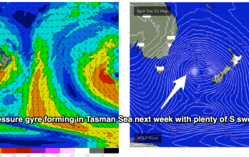
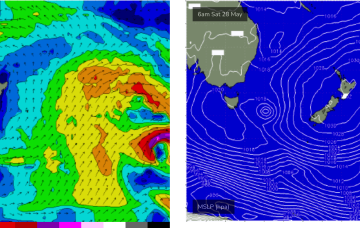
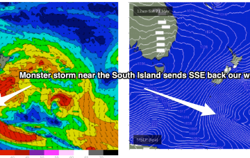
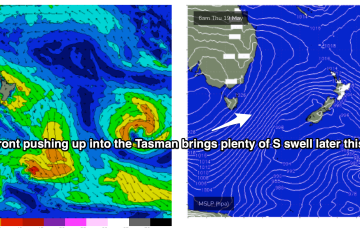
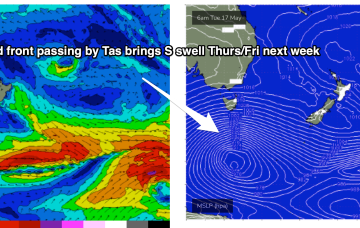
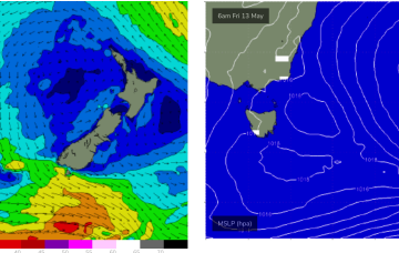
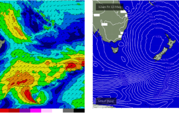
That system will drive gales across various area of the Tasman Sea, initially out of Bass Strait and adjacent to the Southern NSW Coast, then extending southwards to form a long fetch through the lower Eastern Tasman Sea.
Primary tabs
Into next week and we’ll see stronger, longer period E swell from the Coral Sea/Tasman low start to build Mon with size boosting into the 3ft range under a light E’ly flow.
Sunday should see much better quality E/NE swell as the low pushing down from the tropics drags a fetch of E/NE winds into the Tasmanian swell window.
Through later Wed we’ll see some small NE windswell pop up as the high meanders into the Tasman and the western flank pushes NE winds down the coast from southern NSW into Bass Strait.
High pressure remains west of Tasmania during Sat with weak SW winds on offer as fronts well to the south pass through the Southern Ocean.
Plenty of S swell continues through Fri with SW winds remaining fresh and gusty.
Stronger fronts push up into the Tasman from later Wed, bringing a SW flow and bigger S swell as we head to the end of the week.
Further south the NE swell is now on the wane, with some surfable leftovers on offer over the weekend.
NE swell from the bottom end of the fetch is now looking a bit weaker and less persistent for East Coast Tasmania.
A large high is now moving into the Tasman Sea and strengthening- that will be the main synoptic feature this week- setting up a deep ridge and a strong E’ly pattern through the Tasman Sea.


