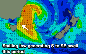
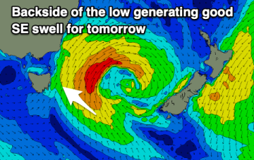
Windy, cold and with persistent swell energy from the south-eastern quadrant.
Primary tabs
A prolonged, windy southerly swell is expected from Thursday through early next week.
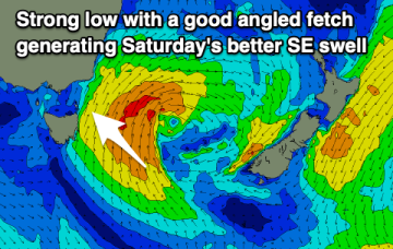
Cleaner conditions with a good SE swell for the weekend, fading into next week. Windy building surf is likely later in the week.
Plenty more surf to come but with less favourable winds from tomorrow afternoon. Improving into the weekend.
We've got an active week of surf ahead with plenty of swell and generally favourable winds, opening up plenty of options.
No great change to the weekend f/cast. A high is approaching Tasmania from the W, passing over the state tonight and setting up N’ly winds Sat before a trough brings a more variable SE-SW flow on Sunday.
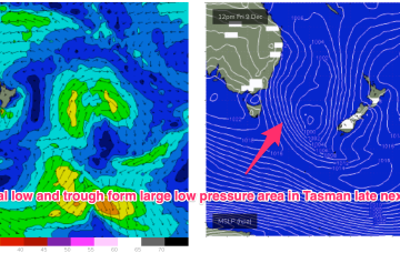
We are seeing the “schizoid” pattern now develop whereby a monsoonal trough is splitting off a low pressure trough along the CQ coast, supported by a high pressure belt from the Bight to the Tasman Sea, while fronts and a parent low are entering the lower Tasman. That is seeing a regime where both S swells and a developing E’ly swell event are both in play across most of the Eastern Seaboard. S’ly swells are dominating the Southern Tasmanian coast, with a small wrap around into the North-East coast.
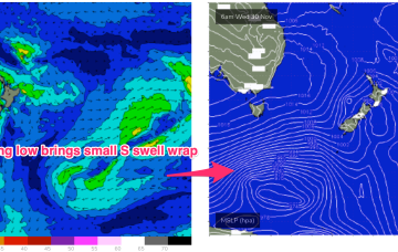
We’ve got an interesting looking pattern as we transition into Summer, with both active frontal systems transiting below the continent and a precursor monsoonal trough across the top end of Australia. A front pushing into the Tasman Sea and a deeper parent low bring S swell pulses this week while a trough of low pressure is expected to hive off the precursor monsoon trough mid week and sit in the Coral Sea later this week, bringing plenty of E swell for the sub-tropical Seaboard.
No great change to the weekend forecast. A high moving in from the Bight and a trough bring a SW flow tomorrow before winds set in from the N during the a’noon. No great size is expected with just marginal 1-2ft leftovers.
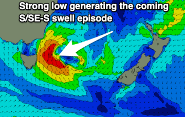
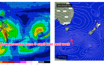
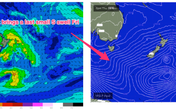
We’ve had the entrees for this S swell event and we’re now close to the main course with a deep low (977hPa) and gales tracking NE into the Tasman from behind Tasmania, with the largest swell trains already peaking across NETas.

