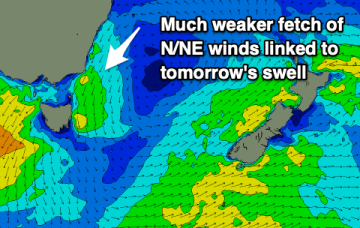
Tomorrow's N/NE windswell has been downgraded further and the coming outlook isn't too exciting.
Primary tabs
As the easterly swell energy fades the coming outlook is fairly subdued and weak.
We'll see easing surf over the coming days with nothing too substantial to follow it up, so get stuck in.
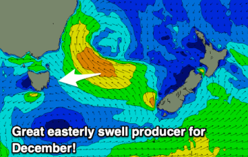
We've got a sizey easterly swell on the way and it's well worth making the most of even with the slightly dicey winds. There'll be quality waves about.
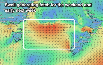
There's an upgrade in the easterly swell due on the weekend with the associated low being stronger and broader in nature.
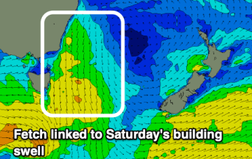
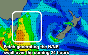
A strengthening fetch of north-east winds are producing a building north-east swell which looks best tomorrow as winds swing offshore and it eases.
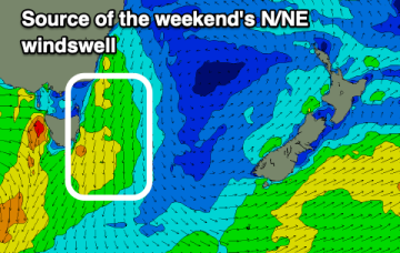
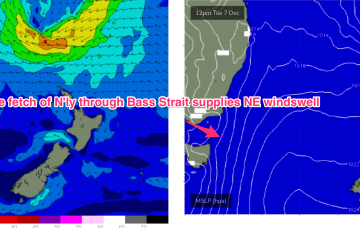
High pressure drifts towards New Zealand early next week with a strengthening N’ly flow through the East Tas swell window.
Better options are ahead early next week as a new high pressure system quickly migrates through the Tasman Sea towards New Zealand and a N’ly fetch develops off the South Coast and down to Bass Strait.
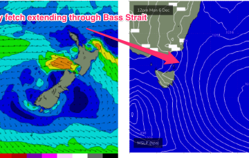
Short term and the western flank of the high creates a NE fetch off the South Coast and extending across Bass Strait through tomorrow to Thursday.
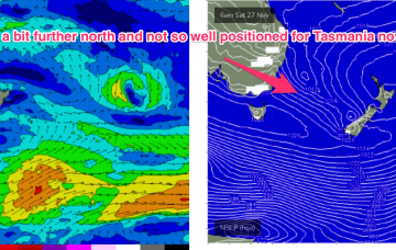
The long, elongated trough line extending off the NSW Coast and angling in a NW/SE orientation towards New Zealand is now located a bit further north than modelled on Wed. Like the last trough system it’s now located more on the Mid North Coast. That amount to a slight downgrade for Eastern Tasmania as the fetch is now located a bit farther north and aimed more at NSW.

