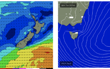
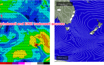
A long, broad E’ly tradewind fetch extends from the Coral Sea into the South Pacific with the tail of the fetch in Tahitian longitudes. To the south a complex low and front is expected to pass under the state over the weekend.
Primary tabs
Multiple cells of reinforcing high pressure then one by one move into the Tasman, maintaining a weak ridge up the NSW Coast and a deep E’ly flow through the South Pacific and Eastern Coral Sea, with resulting E’ly swells favouring the sub-tropics for size with some small E/NE swell filtering down to NETas. More cold fronts and small S swells are also on the radar.
Large high in the Tasman directing plenty of E’ly-SE’ly tradewinds through the Coral Sea and South Pacific slot and a strong N’ly flow off the South Coast, generating NE windswells for NETas.
A trough off the NSW coast is focussing SE winds along the Eastern Seaboard, with a strong front/low traversing the Lower Tasman underneath Tasmania.
Plenty of swell for the period, initially from the southern quadrant, then north-eastern.
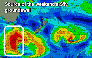
To the south, a severe gale to storm force fetch off the ice shelf from a retrograding low under the South Island sends a rare S/SE groundswell up the Pipe, with another strong front/low late this week into the weekend expected to generate another pulse of S’ly groundswell late this week.
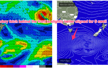
A deep low with strong gales currently tracking in a NE direction SE of Tasmania justifies a slight upgrade in size for this weekend at S exposed breaks.
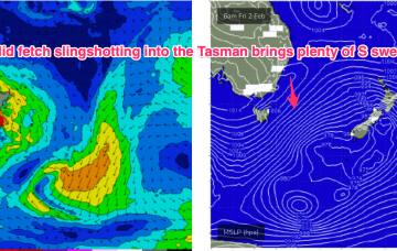
A much stronger front and parent low tracks NE into the lower Tasman late this week with a broad band of gales to strong gales expected to generate some strong S swell late this week and into the weekend.
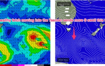
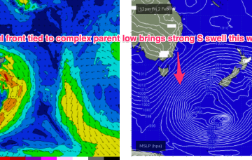
Fri should be a different story. Strong S swell expected to build Fri and extend into Sat as a front with gales to strong gales tied to a complex parent low drifts slowly through the far Southern Tasman.
Into next week and not much happening to start the new week. High pressure moves quickly into the Tasman, with winds shifting NW-NE then SW-SE as a trough pushes through a shallow change.

