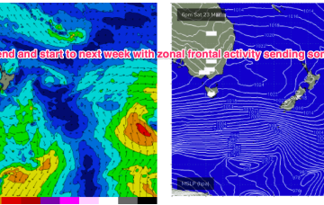
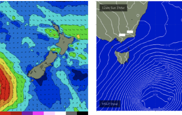
We’ll see some frontal activity over the weekend and S pulses next week before another strong, blocking high sets up a ridge next week.
Primary tabs
Strong NE winds off the high are generating increasing swells for NETas.
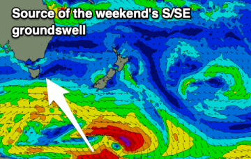
There's plenty of surf to come this period with a strong S/SE groundswell for the weekend due to be replaced by N/NE windswell next week.
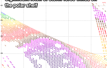
Into the weekend and we’re still on track for some strong S/SE groundswell from a stalled low near the ice shelf today with ASCAT passes showing strong gales to storm force winds in the fetch.
There are plenty of surf options this period with swells from all angles, along with the local winds.
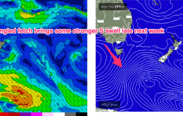
Late in the week we’ll see a strong front with a more meridional fetch (N-S) move into the Tasman and if this comes off as modelled we’ll see a strong S swell pulse later Fri into Sat.
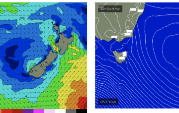
N’lies then increase in the swell window over the weekend as high pressure drifts into the Tasman Sea bringing increasing NE windswell from Sat a'noon.
Current ASCAT (satellite windspeed) passes show a long fetch of severe gales in the southern swell window and wave buoys are all in an aggressive upwards curve as strong S swells propagate along the Southern NSW Coastline after making landfall in Tasmania.
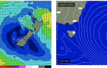
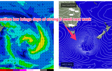
Models are holding steady on a winter calibre low tracking well to the south- south-east of Tasmania during Sun and traversing the far Southern Tasman through Mon.
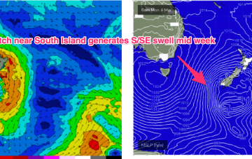
Models are in good agreement now for strong gales to push NE of Tas as a deep low transits the Tasman Sun/Mon into an already active sea state.


