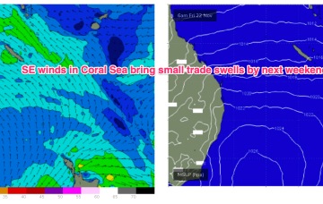
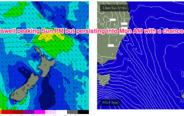
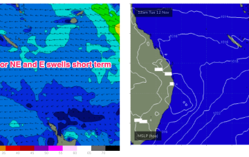
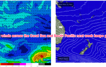
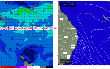
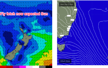
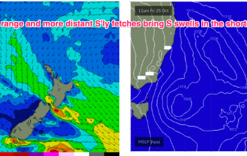
We’ll see the NE flow ramp up on Sun across the MNC, grading lighter the further north you go, as an approaching front and cut-off low really tightens the pressure gradient.
Primary tabs
Troughiness next week does offer potential for low pressure development in the Tasman but we’ve got high model variability so confidence is very low in the outcomes.
Another unstable, troughy week ahead with humid, unstable air over the continent creating a series of troughs, one of which forms a slow moving trough of low pressure off the Mid North Coast which interacts with a weak high pressure cell drifting in the Tasman.
No change to the surf outlook over the weekend which remains small and weak but winds will be all over the place as a trough of low pressure hovers about the NSW North Coast.
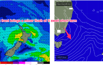
S groundswell is still on the radar as a slow moving polar low tied to Fridays front skirts the southern edge of the swell window, over the weekend.
Very quiet across the entire spectrum of the East coast swell window at present. Weak high pressure near New Zealand is being shunted away by another weak high cell moving into the Tasman overnight into tomorrow. Troughiness continues with a slow moving trough line semi-stalled across the MNC this week.
A shallow troughy change Mon looks to stall south of the MNC on Mon. If that current outlook holds we’re looking at a working week of N’ly winds and patches of NE windswell.
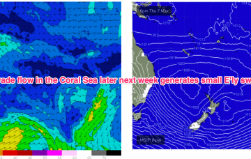
Some modest frontal activity pushes through late in the week with a developing N’ly flow on Sun set to provide some NE windswell. Looks like more of the same next week with a fluctuating trough remaining semi-stalled along the NSW coast bringing mostly N'ly winds and small, weak swells.
High pressure drifts into the Bight but weakens as the week progresses with a weak high cell budding off and moving NE into the Tasman. The result is a weak, troughy pattern in the Tasman and inland- unstable but not very surfy.
A complex but disjointed low has formed in the Tasman with diffuse centres off the North Coast and Tasmania/Gippsland coast. We’ll see various S swells generated by proximate and distal fetches from this system over the weekend and into next week.

