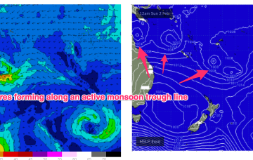
Longer term is starting to look more dynamic as the tropics finally starts to fire up. Multiple low pressure systems are suggested on long range model guidance, potentially tropical cyclones.
Primary tabs
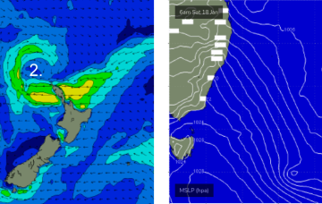
Today’s strengthening southerly winds are related to a developing Tasman Low that is poorly aligned within our swell window, and tracking unfavourably to the east.
As suggested in Wednesday’s notes, I’m not keen on the alignment of this Tasman Low.
A final low pressure system associated with our recent complex synoptic pattern moved from a position north of New Zealand last week, into the Tasman Sea over the weekend.
The Tasman Sea currently has a number of low pressure centers, driving strong winds from a couple of directions across various parts of the basin.
A few changes to the outlook for the weekend, but in general I’m still anticipating better surf early next week.
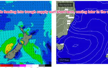
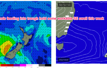
Main features on the synoptics this week are an approaching front from the west, a strong high just west of New Zealand and a deepening surface trough in the northern Tasman Sea - the latter of which will feed additional moisture into an already-evolving dynamic setup.
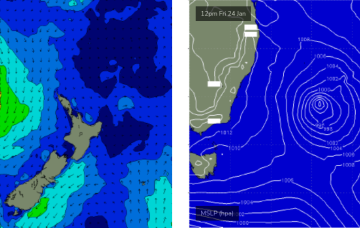
GFS suggests the inland trough moves Northwards, with a trough spawning a small low east of Tasmania and rapidly deepens o/night into Fri with strong winds to gales developing off the south coast and Bass Strait.
A small trough of low pressure has stalled off Seal Rocks with a SE infeed south of the trough expected to ease over the next 24 hrs and a light/variable flow north of the trough.
The current synoptic situation has a Groundhog Day feel to it, with another very weak high pressure cell in the Tasman (1019hPa), directing a mod N’ly flow along the temperate NSW coastline, with a weak Tradewind flow in the Coral Sea

