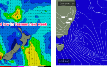
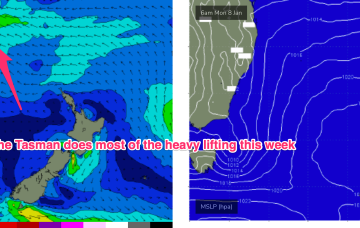
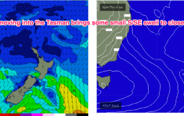
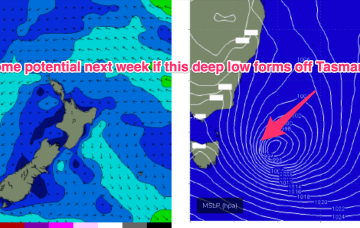
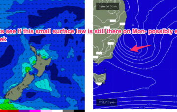
Very active pattern to start the week with a large high (1029hPa) moving E of Tasmania with a SE surge enhanced by a trough along the leading edge of the high, and active Monsoon Trough extending in to the Coral Sea and an approaching complex low well to the SW of Tasmania. All these features are potential sources of surf in the short to medium term.
Primary tabs
The southwards protusion of winds from a high and retrograding trough will generate fun sized E’ly swells.
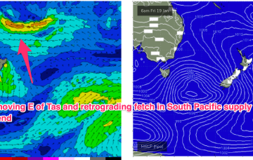
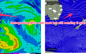
The compact low near Tasmania is now skipping away to the SE with a large high SE of the South Island (1034 hPa) interacting with a broad low pressure trough in the South Pacific which will supply E’ly quadrant swell in the near term as the low pressure trough retrogrades back towards the east coast.
East swells will favour the sub-tropics for size, but we’ll see swell trains from this source filter down into temperate NSW. Longer term is starting to look very active as well.
Quite a healthy looking N-NE fetch extending along the NSW coast to start next week - favouring Central/Southern NSW as is typical.
A trough moving north from a position east of Tasmania brings a vigorous S’ly change tomorrow extending into Fri before the summer pattern slowly resets over the weekend. Any large or moderate swell generating features have disappeared from the charts, alas.
Not much action ahead for the short run in the f/cast region. Mod/fresh NE winds through Tues and Wed across temperate NSW with lighter N-NW winds inshore early. Local NE winds proximate to the coast and E’ly winds in the Northern Tasman will supply a typical Summer mix of NE and E/NE short period swells.
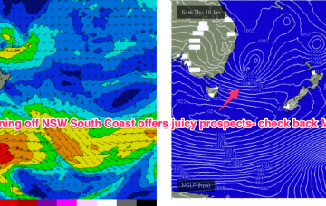
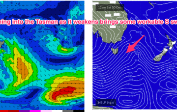
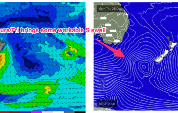
Models are divergent as to the fate of the trough with GFS suggesting a deepening of the system as it moves northwards, potentially forming a closed surface low and generating plenty of S/SE-SE swell Fri and into next weekend.
No great change to the summer pattern with a massive heat dome over Central, Western and Northern Australia spawning trough lines which are creating unstable, stormy weather across large swathes of the East Coast. A complex inland trough/low is emerging from the Gippsland coast into the Tasman Sea with a fetch of SE-E/SE winds aimed at Tasmania and offering some small sideband energy up into Southern/Central NSW.
We’ll see some small E quadrant swell off the infeed, with a North-South gradient for size but even open the Far South Coast the size will be modest and onshore winds will keep quality low. Frontal systems following this troughy pattern should supply some better quality S swell of modest size late in the week and over NYE and New Years Day.

