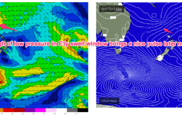
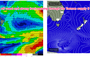
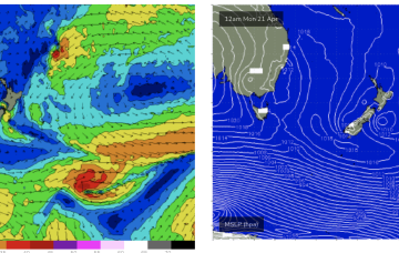
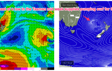
A dominant (1034hPa) high pressure system is currently moving off the Far South Coast into the Tasman Sea where it very slowly migrates south-eastwards over the weekend. Pressure gradients weaken over temperate NSW with a firm ridge in the sub-tropics holding a S-SE pattern over the weekend.
Primary tabs
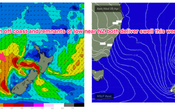
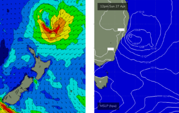
We’re seeing a ramp up in strong S’ly winds along the eastern seaboard as a dominant high (1035hPa) moves through the eastern Bight towards Tasmania with a trough on it’s leading edge moving northwards. Remnants of a low on the weekend are also sitting near New Zealand with swell generating fetches off the South Island and emerging from Cook Strait into the eastern Tasman.
We’ll see things ramp back up again Wed. A front enters the Tasman, decays into a trough and moves northwards along the coast in a pattern we’ve seen repeatedly this autumn.
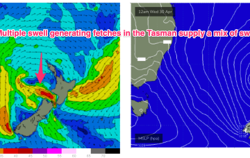
The synoptics are looking quite complex across the Tasman Sea, but the good news is that we’ve got plenty of waves on the way.
Not a great change through the rest of the week with the trough devolving into a trough line and sitting on the coast and a new trough of low pressure forming on the weekend. We’ll see some new short range S swell from that source, improving in quality as the trough forms a low and moves away from the coast.
We’ve got a more subdued synoptic outlook this week with weak high pressure currently in the Tasman and a complex troughy area of low pressure situated off the Southern NSW/Gippsland coast. That trough moves NE, backed by a large high pressure centre currently in the Bight. We’ll see the trough bring onshore winds and swell as it moves up the NSW Coast through the first half of this week.
The large mid-latitude low in the central Tasman Sea - responsible for today’s very large surf - is slowly rotating clockwise, and by this evening won’t actually have a fetch aimed within our swell window.
A tropical depression between Vanuatu and New Caledonia has formed a tropical cyclone (TC Tam) and is racing south-eastwards at 23kts, where it is expected to merge with another tropical low SW of New Caledonia. After a binary interaction between the two systems, the merged low transitions into a storm force sub-tropical low which tracks SW into the Northern Tasman.
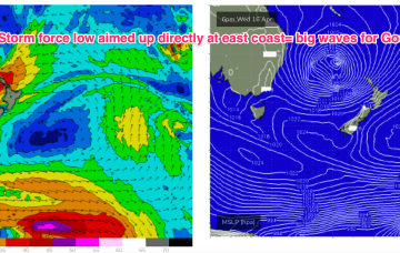
Certainly by Thurs the synoptic chart should look insane with a deep low (970-980hPa) retrograding into the Tasman, positioned inside the North island with plenty of space for severe gale to low end storm force winds to be aimed up at the east coast.
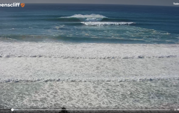
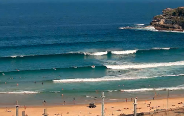
It's a bit of a tricky weekend of waves, but the short version is there should be something fun and it’ll be clean on top.

