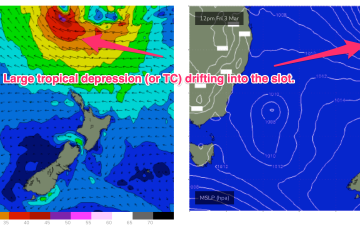
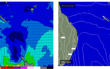
No great changes to the weekend f/cast. High pressure is now moving SE towards the tip of the South Island, maintaining a SE-ESE trade flow in the Coral Sea. Tradewinds are being enhanced by an active monsoon trough extending from the Arafura Sea into the Coral Sea.
Primary tabs
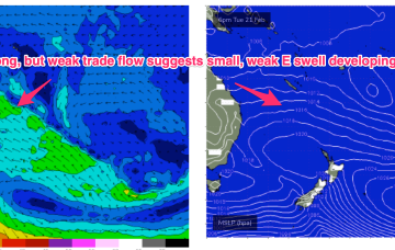
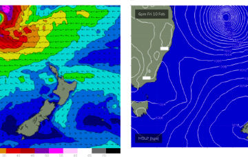
Strong high pressure (1035 hPa) is now moving SE of Tasmania with an embedded trough along the advancing ridge ramping up wind speeds from the SSE-SE into the 20kts+ range. Conditions should settle as the high moves into the Tasman and weakens and the ridge relaxes through the end of the week. The high is augmenting an existing SE-ESE tradewind fetch through the Northern Tasman and Coral Seas and maintaining small E-SE swell.
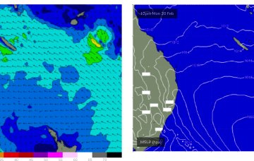
Weak pressure gradients in the Coral Sea are producing light winds and tiny surf for CQ, with a weak trough of low pressure now moving North of Fraser Is. and dissipating.
Northerly winds and easing swells are on offer this week with weak pressure gradients in the Coral Sea.
Now that the low axis of TC Gabrielle has moved south of the CQ coast we’ll see diminishing swells.
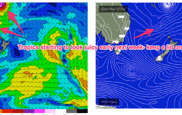
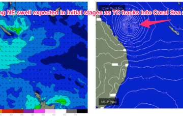
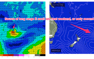
A convective cloud mass between the Solomon Islands and Vanuatu is expected to consolidate and deepen into a tropical cyclone by mid week, tracking back into the Coral Sea towards the tropical QLD coast before recurving and drifting Southwards through the Coral Sea and eventually towards the North Island. Solid swell from this system is expected across most of the Eastern Seaboard.
No change to the outlook this week with N’ly flow down the Coral Sea and tiny/flat surf expected.
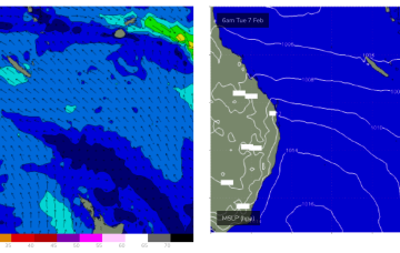
We’ve got a troughy, unstable synoptic pattern on our hands with monsoonal clouds and moisture extending from the Top End dawn to a trough off the NSW South Coast. Through the Coral Sea a NW monsoonal flow is bending from the tropics to become more N’ly. The upshot is more more tiny/flat surf for the CQ coast this week.
That's leading to continuing light winds in the Coral Sea and tiny surf. Models are suggesting a minor increase in SE swell tomorrow as the trade flow perks up just a notch but any increase will be very minor so keep expectations low with knee high waves expected at best. Maybe just surfable at exposed breaks.
The synoptic pattern over and surrounding Australia still has a strong La Niña signature with troughy low pressure areas in the Tasman Sea and an active monsoon trough across Northern Australia. High pressure on the other side of New Zealand is cradling areas of low pressure aimed at NSW and SEQLD with the Coral Sea adjacent to the CQ swell window offering up very weak pressure gradients and swell generating winds.

