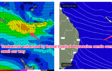
No change to the forecast. The weekend looks great with building E’ly swells from a broad, angular tropical depression centred around New Caledonia.
Primary tabs
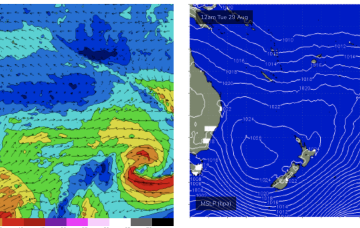
We still have a large (1032hPa) high slow moving over NSW directing SE winds in the sub-tropics, extending out to a tradewind fetch adjacent to New Caledonia and extending into the Coral Sea. This is producing plenty of fun surf across CQ and this pattern is expected to continue through the week and over the weekend.
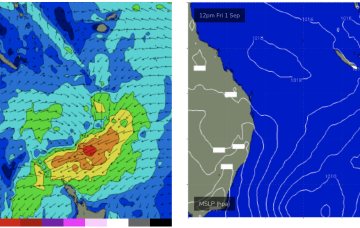
Good news we’re then expecting a solid rebuild in wave heights as the high sets up a strong SE trade flow through the Eastern Coral Sea, with gradients squeezed by a southwards moving broad tropical depression.
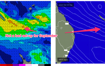
Into next week and a fresh, strong high generates a SE surge through Mon that should seed a fresh round of fun surf for CQ.
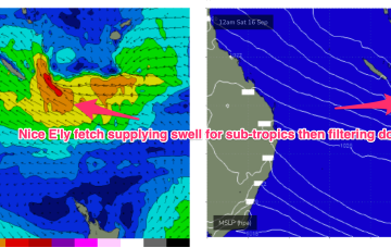
By mid week we’ll start to see an E’ly flow develop through the Coral Sea, with the fetch extending into more southern Coral Sea water through Fri.
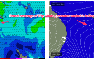
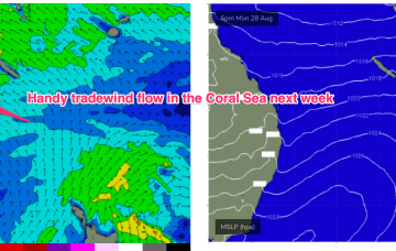
We do have a promising outlook though for mid/late next week as another high in the Tasman, and strong high in the South Pacific set up a long tradewind flow in the South Pacific and a shorter, proximate tradewind flow in the Central Coral Sea.
The troughy pattern is about to disrupt the tradewind flow in the Coral Sea, with a South Pacific trough moving south very quickly as it forms up tomorrow. The net result will be easing surf for CQ through tomorrow, likely tiny/flat by Fri and into the weekend.
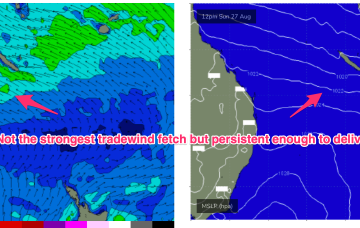
The tradewind fetch is a little weaker than forecast but we’ll still see a reasonable ridge up the QLD coast and some fun waves over the next few days.
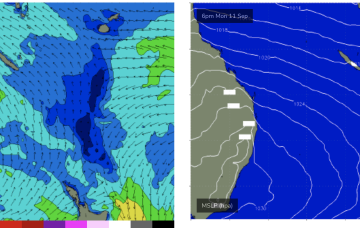
We’ve got tradewinds now established in the Central Coral Sea and the development of small, fun surf across CQ.
Next week now looks juicier with the tradewind flow strengthening and extending southwards, which will see surf build to 2-3ft through Mon, and extend into the middle of next week at similar size.

