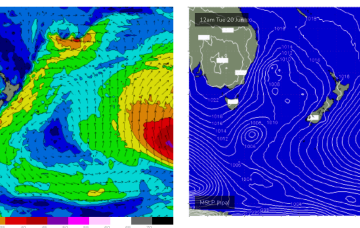
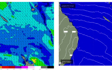
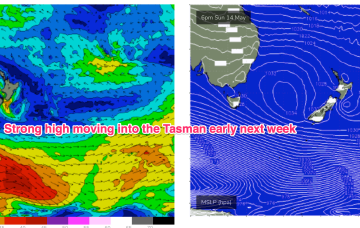
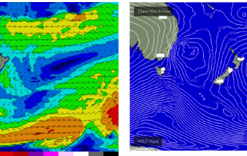
None of these features generate swell for CQ, so we're looking at a typical winter flat spell.
Primary tabs
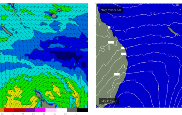
Tradewinds are dissipating in the Coral Sea with surf becoming tiny/flat into the weekend and most of next week.
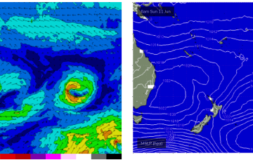
The weakening high is seeing a slow easing and contraction to the North of the tradewind fetch in the Coral Sea which has been supplying CQ with fun wave since the weekend.
SE tradewinds in the Coral Sea remain widespread through the week, slowly contracting north and weakening into the end of the week. That should see a slow roll in size for CQ with surfable waves slowly easing back to tiny by Thurs.
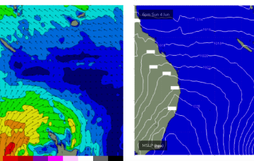
No great change to the f/cast with a high pressure ridge already building across the QLD coast and set to be reinforced by a much, stronger high which moves SE of Tasmania (summer latitudes) over the weekend.
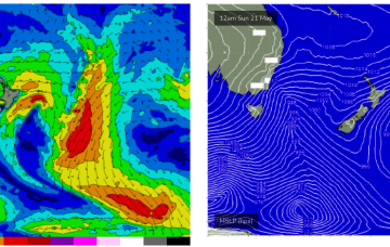
We’ve got a classic winter-style pattern happening at the moment with high riding high pressure, an active Southern Ocean storm track and pumping surf for Vicco, small surf wrapping into NSW and a flat spell for QLD. This winter pattern continues for most of next week but there is a little ray of hope on the horizon, ironically as we head into the first week of winter.
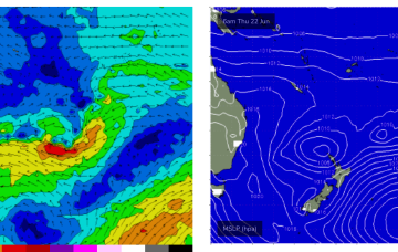
Tradewind swells are now easing, becoming tiny for the rest of the week.
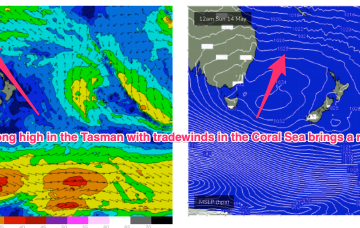
High pressure moves into the Tasman as we end the week with a dominant role into next week as tradewinds develop in the Coral Sea, with a good surf pattern expected for CQ.
In the South Pacific a long, persistent tradewind fetch has been chugging away with small, pulsey E swell expected this week.
No change to the f/cast. Small background energy from the South Pacific holds fun surf next week with a small pulse on the weekend.

