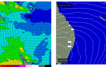
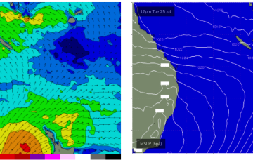
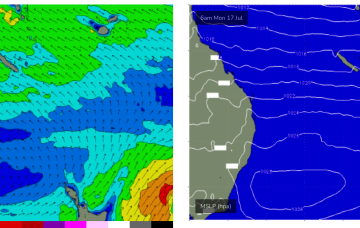
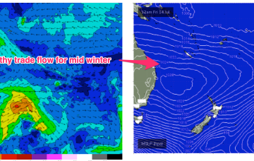
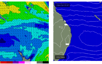
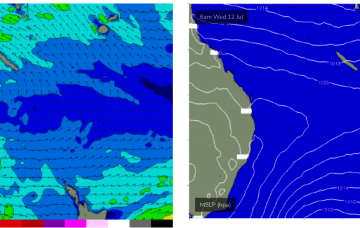
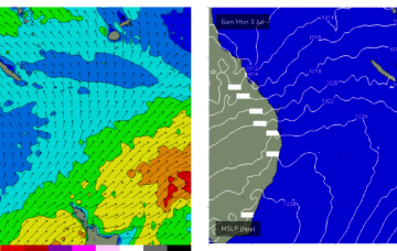
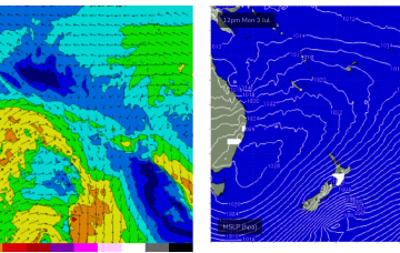
We’ve still got a massive high pressure system (1037 hPa) moving over inland NSW, slowly weakening as it enters the Tasman Sea through tomorrow and over the weekend. The high has created a firm ridge up the QLD Coast and a broad swathe of fresh SE breezes to strong winds in the Coral Sea.
Primary tabs
We’ve got a monster high pressure (1037 hPa) sitting on the edge of the Bight and moving slowly eastwards, maintaining a firm ridge up most of the Eastern Seaboard. A pair of coastal troughs which were expected to form a large area of low pressure off the Capricorn Coast are weakening and moving northwards through the near term.
We’re looking at a complex, dynamic week ahead with a strong high moving across from the Bight and a coastal trough moving up the Eastern Seaboard expected to form a broad surface low off the Fraser/K’gari coast
We’ve got a mobile pattern this week with high pressure over NSW slipping out into the Tasman, rebuilding the tradewind fetch in the Coral Sea and maintaining really fun surf across CQ.
The blocking high has established quite a healthy trade flow through the Northern down to Central Coral Sea and extending out to New Caledonia. Current ASCAT (satellite windspeed) passes show a broad coverage of 20kt+ winds through this zone with CQ observations confirming 2-3ft surf.
The high pressure cell develops a healthy trade-wind flow through the Coral Sea into this weekend, generating fun waves from the E/SE from Thurs. It’s quite a persistent pattern, breaking down mid next week.
Tiny/flat surf look to build from Thurs as a new high pressure ridge builds up the QLD Coast. The high moves into the Tasman at roughly sub-tropical latitudes, with a reasonable ridge up the QLD Coast and some small, peaky swell developing likely into the 1-2ft range through Thurs.
Still looking promising from mid next week as high pressure moves into the Tasman at a N'ly latitude and a SE surge builds up the QLD Coast.
We still may see a trough/low develop off the Central QLD Coast and drift South, bringing building E/NE swells possibly Mon-Tues before the systems gets captured in the W’ly flow.
We’ll see some small background surf over the weekend and into next week from a trough and low in the South Pacific but only for exposed locations and only small, inconsistent 1-2ft surf tops.


