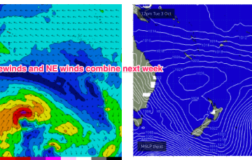
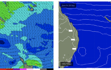
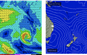
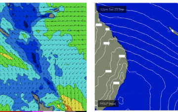
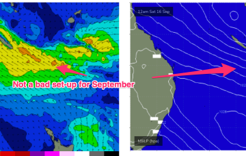
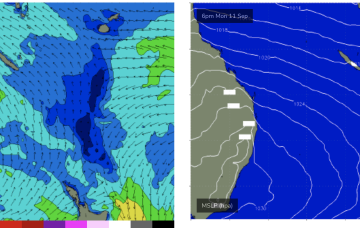
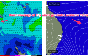
The high pressure belt is behaving in typical spring fashion- tracking NE as it enters the Tasman with the SE surge dissipating and swells easing from that source. Combined with some swell from a tradewind band feeding into a long trough we’ll see small swells this week, just rideable on low tides. New high pressure moving into the Tasman rebuilds the tradewind fetch late this week with small swells bumping up a notch on the weekend.
Primary tabs
High pressure has bought a strong SE surge now establishing a strong ridge up the CQ coast and a developing SE swell. That will see see fun waves develop overnight and hold through the weekend under mod/fresh SE winds.
High pressure is now close to New Zealand, with an advancing trough and cold front bringing a fresh S’ly change, expected to generate a strong SE surge up the sub-tropical coast as a new high moves into the Bight and strengthens. Once the new high high moves into the Tasman over the weekend it’ll set up a blocking pattern with constant SE-E/SE winds and plenty of fun sized surf.
Once the SE surge becomes established Fri into the weekend we’ll see another round of fun sized E/SE swell developing, likely into the 2ft range Sun/Mon and holding at that size before easing Tues/Wed as the SE wind field contracts to the North, away from the CQ swell window.
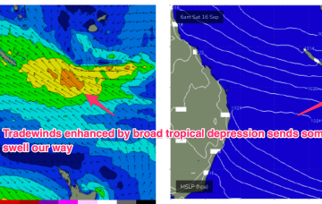
No change to the forecast. The weekend looks great with building E’ly swells from a broad, angular tropical depression centred around New Caledonia.
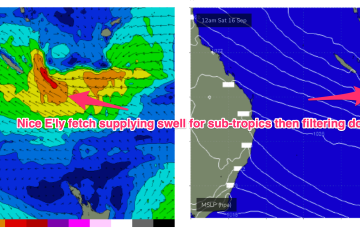
We still have a large (1032hPa) high slow moving over NSW directing SE winds in the sub-tropics, extending out to a tradewind fetch adjacent to New Caledonia and extending into the Coral Sea. This is producing plenty of fun surf across CQ and this pattern is expected to continue through the week and over the weekend.
Good news we’re then expecting a solid rebuild in wave heights as the high sets up a strong SE trade flow through the Eastern Coral Sea, with gradients squeezed by a southwards moving broad tropical depression.
Into next week and a fresh, strong high generates a SE surge through Mon that should seed a fresh round of fun surf for CQ.
By mid week we’ll start to see an E’ly flow develop through the Coral Sea, with the fetch extending into more southern Coral Sea water through Fri.
We do have a promising outlook though for mid/late next week as another high in the Tasman, and strong high in the South Pacific set up a long tradewind flow in the South Pacific and a shorter, proximate tradewind flow in the Central Coral Sea.

