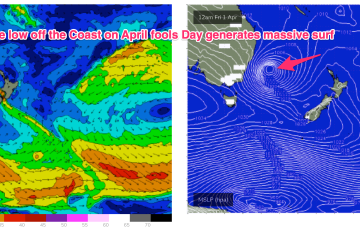
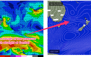
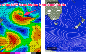
The northern end of the coastal trough system is expected to deepen into a surface low through tonight into tomorrow, off the SEQLD coast, moving south through Wednesday.
Primary tabs
This expansive troughy pattern is likely to morph from day to day as weather models struggle to resolve the vorticity and local areas of low pressure within the trough line.
A high just east of Tasmania and a slow moving trough of low pressure off the North Coast direct a pretty robust onshore flow across most of temperate NSW. This fetch will be too far south to be of much use for our sub-tropical region.
In the short run and an elongated “bubble” high moves north along the coast through tomorrow, bringing a cracker of a day with light offshore breezes which will tend SE through the day, with winds becoming light in the a’noon.
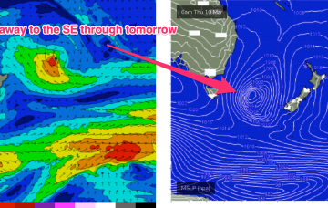
That front then forms a low, which becomes slow moving as it tracks NE towards the North Island. Swell is incoming from the front and the low, generating swell from the southern quadrant.
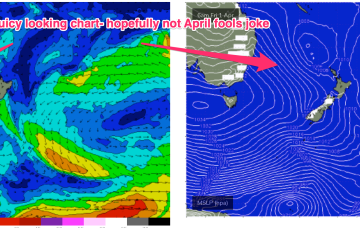
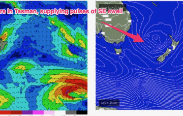
Both these fetches are going to supply fun sized mid period swells going into the weekend with a front and low expected in the Tasman Sea over the weekend.
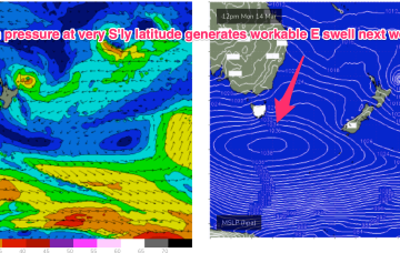
A stronger high at at even more Southerly latitude is South-west of Tasmania and tracking into the lower Tasman to replace the current high cell. This will reinforce the SE’ly fetch and maintain a weak onshore flow on the coast.
The next high pressure system moves into the lower Tasman Mon, at a very southerly latitude, even by La Niña standards.
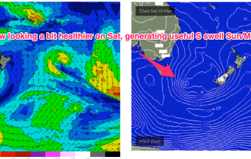
This fetch is producing a fast rising S swell through today in Southern NSW, with the bulk of the swell generation for our f/cast region occurring once the fetch moves out of swell shadow of the Hunter curve.
This fetch is enhanced by a pressure gradient squeeze with another strong high currently moving East in the Bight. Meanwhile, out in the South Pacific a sub-tropical low is deepening well E of the North Island with a well aimed fetch expected to be aimed at the sub-tropics generating a long range E’ly groundswell for the weekend.

